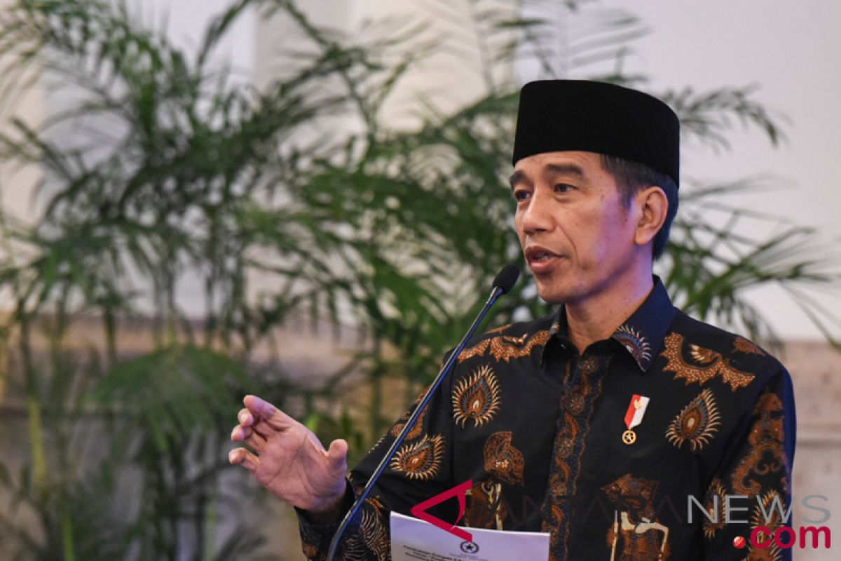
"Before sunset, just now, a quake shook Central Sulawesi and its surrounding areas," he said on Fariday evening. He kept monitoring the development after the quake at 5:02 p.m with its epicenter in the district of Donggala.
"I am monitoring the situation and have ordered all the government agencies concerned to be ready to meet any eventualities after the quake," he said. The President also called on people in the affected areas to remain calm.
The head of state also ordered Wiranto to coordinate efforts to mitigate the impact of the earthquake.
"I have ordered the Coordinating Minister for Politics and Security to coordinate," President Joko Widodo said in Solo on Friday. President Jokowi also called on the Indonesian Defense Forces (TNI) Commander and ordered him to jointly deal with the disaster, especially relating to emergency handling, searching for victims and evacuation and preparing the basic needs.
"We hope that tomorrow we will get more detailed reports and information because the ministers, the Head the National Disaster Mitigation Agency (BNPB) have not yet arrived at the location. They are going there, and we will wait until tomorrow morning to hear the report on the real situation in the field," he said. He expressed his condolences over the earthquake and tsunami in Donggala, Palu and surrounding areas.
The Meteorology, Climatology and Geophysical Agency (BMKG), announced that an earthquake measuring 7.7 on the Richter scale occurred at 0.20 degrees southern latitude and 119 degrees eastern longitude at a depth of 10 kilometers. It later update the magnitude to 7.4 on Richter scale.
Head of the BMKG Dwikorita Karnawati said the 7.4-magnitude earthquake in Donggala Central Sulawesi triggered a 1.5-meter tsunami.
"The sea water surged, ranging from six centimeters of the tide gauge in Mamuju at 5: 27 p.m Western Indonesia Standard Time (WIB) and eye witnesses on the field saw the height of the tsunami reached 1.5 meters," the BMKG head told a press conference.
Based on the agency`s standard, the earthquake could generate a tsunami at an alert level of over 50 centimeters to 3 meters, which could arrive onshore at 5:22 p.m (WIB).
The results of the BMKG monitoring showed that the water had continued to recede so that the tsunami warning ended at 5:36 p.m (WIB).
"This means that the 1.5-meter tsunami indeed took place but the incident ended at 5:36 p.m WIB, and thus, the BMKG ended the tsunami early warning," Karnawati said.
BMKG monitoring results showed that until 8pm WIB, 22 aftershocks followed with the smallest magnitude of 2.9 on the Richter scale and the strongest one at 6.3 on the Richter scale.
The National Disaster Mitigation Agency (BNPB) confirmed that tsunami waves had struck several parts of Central Sulawesi, namely Talise and Donggala Beaches after a 7.4-magnitude earthquake hit the province.
"The BNPB has confirmed to the BPBD (Regional Disaster Mitigation Agency) that the tsunami hit the Talise coastal area in Palu City and the beach in Donggala," Head of Information Data and Public Relation Center BNPB Sutopo Purwo Nugroho said in Jakarta on Friday.
The tsunami resulted in casualties. BNPB is still collecting data to ensure the death toll. The victim who died was caused by the collapse of a building. "The tsunami also hit several settlements and buildings around the beach. The number of victims is still being collected," he said.
BPBD officers, Military, National Police, National Search and Rescue Agency personnel, and volunteers evacuated and helped victims. "The injured victims have been handled by health workers," he said.
In the meantime, the Geological Agency of the Ministry of Energy and Mineral Resources (ESDM) immediately sent a team to the location hit by the 7.4 magnitude earthquake in Donggala. The ministry said in a press release from its Center for Volcanology and Geological Disaster Mitigation at the Geological Agency that the area around the epicenter was generally composed of pre-tertiary, tertiary, and quarterly aged rocks.
The rocks of the pre-tertiary and tertiary age that have experienced weathering and sediment deposits are generally decomposed, loose, soft, unconsolidated, and strengthen the effects of tremors, which are prone to earthquake shocks.
Based on the position and depth of the epicenter of the earthquake, the incident was caused by active fault activity in the Palu-Koro fault zone which trails northwest and southeast.
In the meantime, the earthquake also disrupted the communication network system of the Air Traffic Control (ATC) tower of SIS Al Jufri airport of Palu, Central Sulawesi.
State-owned navigation firm Airnav Indonesia for Makassar (South Sulawesi) immediately sent equipment and technicians to repair the communications system at Palu`s Mutiara Sis Al Jufri airport whose tower collapsed due to the earthquake.
"Our towers were affected because of the very strong earthquake, and as a result our communication network was cut off. Because of that condition we issued a Notice To Airmen (Notam) to temporarily close the airport," Airnav Indonesia Public Relations Manager Yohanes Sirait told Antara in Jakarta on Friday.
Airnav has published Notam Number H0737 that SIS Al Jufri Palu Airport is closed from September 28, 2018 at 7:26 p.m local time (WITA) until 7.20 p.m on September 29, 2018, said Yohanes. Coordination was still being carried out to monitor current conditions.
"We continue to check the conditions in the field until there is the latest information and the subsequent publication of Notam," he said.
The earthquake shook the city of Palu and its surroundings on Saturday morning with a magnitude of 5.1 on the Richter Scale (SR) at 7:20 a.m WITA.
(A014/ )
(T.A014/A/KR-BSR/A014) 29-09-2018 02:23:40
Reporter: Andi Abdussalam
Editor: Suharto
Copyright © ANTARA 2018
