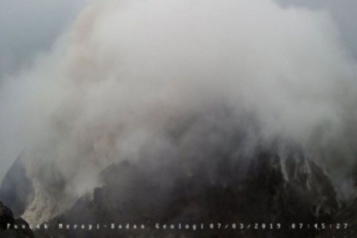
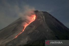
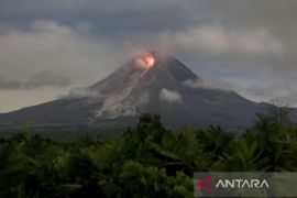
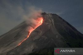
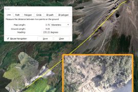
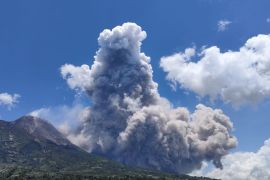
BPPTKG said in its official Twitter account, that the hot cloud glide of the avalanches occurred at 06.34 WIB for 124.56 seconds.
In its observation from 00.00 a.m to 06.00 a.m. local time, BPPTKG recorded four earthquake with 2-8 mm amplitude lasting for 20.6-50.9 seconds, one multiple phase earthquake with an amplitude of 14 mm for 12.9 seconds.
During the period, the crater smoke was observed to be white with moderate intensity and 25 meters high above the crater of Mount Merapi.
While the weather around the mountain is cloudy, with weak to moderate wind toward southwest and west, the air temperature is recorded at 15-21.8 degrees Celsius, air humidity at 72-91 percent, and air pressure at 569.2-709.9 mmHg.
Until now the BPPTKG has maintained the status of Mount Merapi at Level II or Alert and temporarily recommended against conducting climbing activities except for the purposes of investigation and research related to disaster mitigation.
BPPTKG has urged residents to not carry out activities within a three-kilometer radius from the summit of Mount Merapi.
With the farther sliding distance of the hot cloud from Mount Merapi, the BPPTKG has urged residents living in the Kali Gendol area to increase their vigilance.
The community was also urged to avoid being provoked by issues pertaining to the eruption of Mount Merapi from unclear sources and continue to follow the directions of local government officials or inquire directly from the Observation Post of Mount Merapi, the BPPTKG office, or BPPTKG social media.
Translator: Eliswan Azly
Editor: Sri Haryati
Copyright © ANTARA 2019
