"KRB I consists of five villages and seven hamlets, while KRB II houses two villages and two hamlets," Head of PGAMBGT, Zakarias Ghele Raja, stated in Wulanggitang Sub-district, East Flores, on Friday.
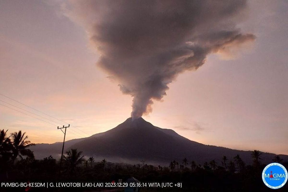
Mount Lewotobi is located in East Flores, East Nusa Tenggara.
Villages in the KRB I area face the risk of getting hit by the flow of volcanic mudflow, ash rain, and incandescent objects.
The KRB I area villages, which are located seven kilometers from the volcano's peak, comprise the hamlets of Boru, Watupodor, Hokeng, Wolorona, Padang Pasir, Riangbari, Buranilang, Lewobawang, Nurabelen, and Kumaebang, and the villages of Hokeng Jaya and Dulipali.
Meanwhile, KRB II includes the villages of Bawalatang, Goloriang, Klatanlo, and Nawokote located five kilometers from the volcano's crater.
The villages and hamlets in KRB II are at risk of being hit by hot clouds, lava flows, and avalanches, as well as incandescent rocks and heavy ash rain.
Raja noted that the Lewotobi volcanoes were recorded as active as of Friday, especially the Lewotobi Laki-Laki Volcano.
He urged the public and visitors to limit their activities near the volcano, to not spend the night near the active crater area, and to not approach gas-erupting holes around the crater to avoid the danger of toxic gases.
He also advised the public not to believe unreliable information related to the Lewotobi eruption activities.
"People must remain calm but be vigilant while following the local government's instructions," he emphasized.
Related news: Mount Semeru's post-eruption cold lava flow tremor shocks Lumajang
Related news: Riau loses three hikers in Mount Marapi's eruption: Official
Translator: Fransiska N, Kenzu
Editor: Anton Santoso
Copyright © ANTARA 2023
