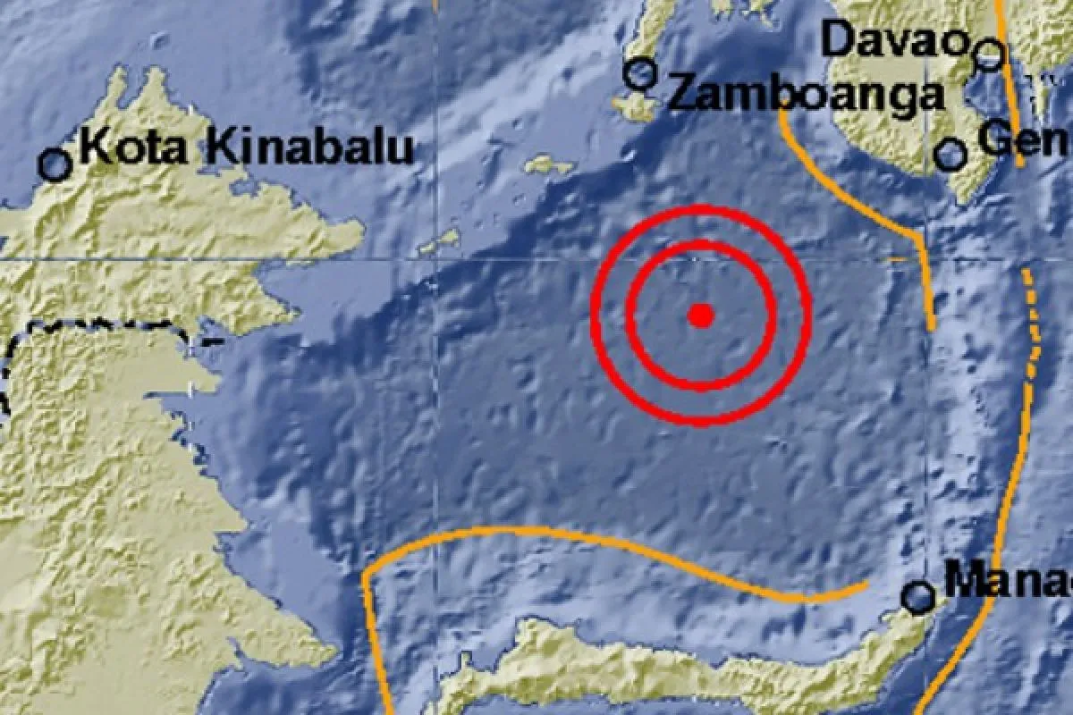
The epicenter of the earthquake, which struck at 1:13p.m. Western Indonesia Time, was located in the Sulawesi Sea, some 322 kilometers northwest of the islands at a depth of 618 kilometers, spokesman for the Meteorology, Climatology and Geophysics Agency (BMKG) Harry T Djatmiko announced.
According to the BMKG website, an earthquake may trigger a tsunami if it is located in the sea at a depth of less than 70 kilometers. Additionally, the earthquake would have to measure more than 7.0 magnitude on the Richter scale.
Although the earthquake that struck the Sangihe Islands was powerful, it did not have the potential to trigger a tsunami, as it had a depth of 618 kilometers, the agency noted.
Indonesia is among the countries that are prone to earthquakes, particularly its islands, which directly face the meeting point of the Eurasia, Indo-Australia and Pacific fault lines.
Among the earthquake-prone areas in Indonesia are the western parts of Sumatra Island; the southern parts of Java Island; the East and West Nusa Tenggara provinces; the northern parts of Papua, Sulawesi and Malauku; and the eastern part of Kalimantan Island.
(Reported by Desi Purnamawati/Uu.S012/INE/KR-BSR/A014)
Editor: Priyambodo RH
Copyright © ANTARA 2017


