An emergency response team of the National Institute of Aeronautics and Space (LAPAN) here on Thursday issued data based on the interpretation visual image method that 2,050 buildings were destroyed and 168 others likely damaged in Petobo.
In Jono Oge, 366 houses were destroyed and 23 others were likely damaged.
The data compared visual images of July 6, 2018, of Plediades and September 17, 2018, of Sentinel 2, with those of October 2, 2018.
Sentinel 2 Satellite belonging to the European Union offers free download, while Pleiades visual images are used to identify building damage, Priyatna, head of the dissemination unit of LAPAN`s Center for Remote Sensing Utilization, stated.
Earlier, Sutopo Purwo Nugroho, a spokesman for Indonesia`s national disaster mitigation agency, explained that the sinkhole phenomenon in Petobo and nearby Balaroa was caused by a process known as liquefaction that took place underground.
"When the quake hit the layers below the surface of the earth, it became muddy and loose," he remarked.
Petobo is believed to have become mass graves, as at least 700 houses in Petobo disappeared after being covered by mud and sinking into the Earth.
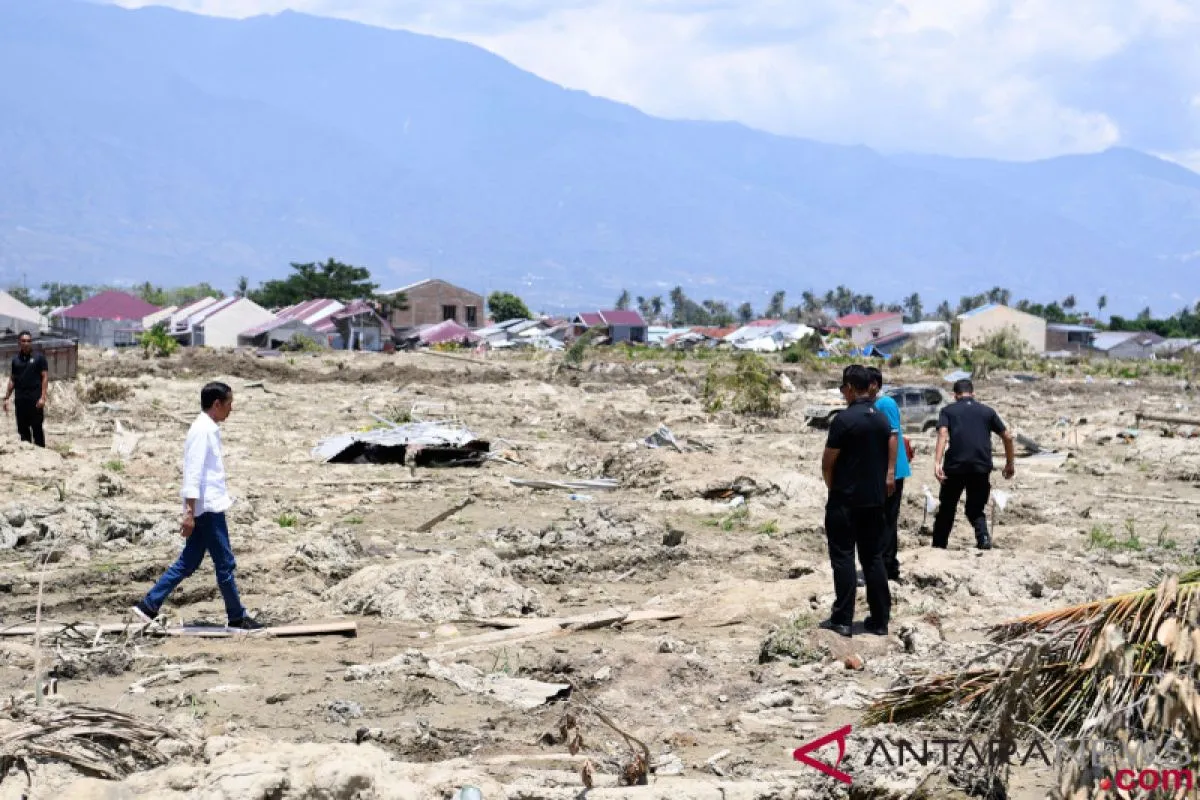
The natural disasters in Central Sulawesi on September 28, 2018, claimed more than 1,400 lives and displaced over 60 thousand people. Several people are still missing, and bodies are still trapped under the rubble of collapsed buildings.
The Indonesian government has intensified emergency response operations to help victims of the earthquake and a subsequent tsunami that hit Palu, Donggala, Sigi, and Parigi Muotong, Central Sulawesi.
Reporting by Virna P Setyorini
Reporter: Antara
Editor: Fardah Assegaf
Copyright © ANTARA 2018


