Early detection of hazards and time-effective disaster monitoring are deemed necessary. Hence, remote sensing satellites can provide valuable inputs on disaster management both for accurate forecast and for rapid assessment of the location and extent of damage.
In light of this, Meteorology, Climatology, and Geophysics Agency (BMKG) Head Dwi Korita Karnawati has urged Indonesia to immediately install a special satellite to monitor the disasters.
Currently, several remote sensing satellites are orbiting the Earth, collecting large amounts of data.
Hence, Karnawati remarked that Indonesia`s position in areas prone to natural disasters makes the use of satellite technology an important aspect in the context of disaster management.
Natural disasters can abruptly occur anytime and anywhere, so millions of Indonesian people living in disaster-prone areas need technology that can make them feel secure.
It is high time that Indonesia installs a disaster detection satellite without further ado, as the country is faced with diverse disaster conditions.
Karnawati highlighted the need for installing a disaster satellite to ease the process of obtaining data and predicting the occurrence of a disaster to minimize the number of victims.
The BMKG has installed earthquake detection sensors in several earthquake-prone provinces, but they are insufficient to provide complete data due to damage.
Hence, the existence of disaster satellites is deemed important to serve as additional data providers apart from data from the BMKG detection sensors.
In addition to the urgent need for a disaster detection satellite, Karnawati called for improving spatial management in disaster-prone areas and providing shelters.
Indonesia is a country prone to earthquakes, volcanic eruptions, and tsunamis.
Arianespace`s Managing Director and Head of Sales for the Asia-Pacific region Vivian Quenet has noted that observation satellites are needed by Indonesia not only for disaster mitigation but also for evacuation.
"Observation satellites, of course, are very helpful. For instance, after an earthquake, you can check whether settlements are still intact or completely damaged and find out where to send aid," Quenet remarked at a press conference in Jakarta recently.
She explained that the observation satellite or earth observer could rotate following the orbit pattern and return to its original position in 24 hours.
During the rotation, the observation satellite will capture optical and radar images and of hot or cold temperatures in an area.
In relation to natural disaster mitigation, observation satellites can capture images in the same area for 24 hours. Hence, the images can highlight the differences in conditions of the place before and after the disaster.
During disaster evacuation, observation satellites can help to detect which areas are most in need of help, so that the amount of resources and assistance sent will be more effective.
Satellite images, especially with a resolution of up to 40 centimeters, can show road conditions, housing, and victims.
"For disaster recovery, we certainly need to see where the infrastructure is damaged, but on the other hand, the resources that are owned are limited. Hence, details on where assistance is sent and which areas need assistance the most can be understood," she remarked.
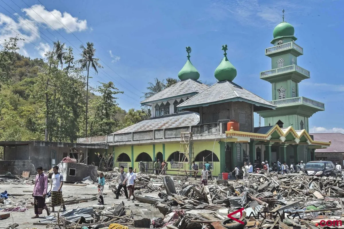
When a devastating earthquake and tsunami hit Central Sulawesi recently, agencies used high-resolution satellite imaging to find the worst quake-affected points that had not been reached.
The National Disaster Management Agency (BNPB) and the National Institute of Aeronautics and Space (LAPAN) continued to update information on a 7.4-magnitude earthquake and tsunami that hit Donggala District and Palu City, Central Sulawesi Province.
Head of LAPAN Thomas Djamaluddin remarked that in order to meet BNPB`s request, LAPAN continued to update information on areas affected by the earthquake and tsunami.
According to Djamaluddin, people can view satellite images of the affected areas at http://pusfatja.lapan.go.id/index.php/tanggapbencana.
Head of BNPB`s Data, Information, and Public Relations Center, Sutopo Purwo Nugroho, stated that the Search and Rescue Team had faced difficulties in penetrating some areas to reach victims due to damaged roads following the earthquake and tsunami.
The absence of electricity and telecommunications services also made it difficult for the SAR personnel to evacuate victims and make disaster impact map.
Hence, the BNPB has coordinated with LAPAN to immediately provide high-resolution satellite imaging of the Donggala and Palu city areas to serve as analytical material, so that the SAR team can evacuate victims and distribute aid more quickly and precisely, Nugroho noted.
"We hope that international institutions would also provide high-resolution satellite imaging for analytical materials. Hopefully, satellites would pass over Palu City. We need as many satellite images as possible, with large scale of up to centimeter, so that objects on land can be viewed clearly," he added.
Reporter: Otniel Tamindael
Editor: Fardah Assegaf
Copyright © ANTARA 2018


