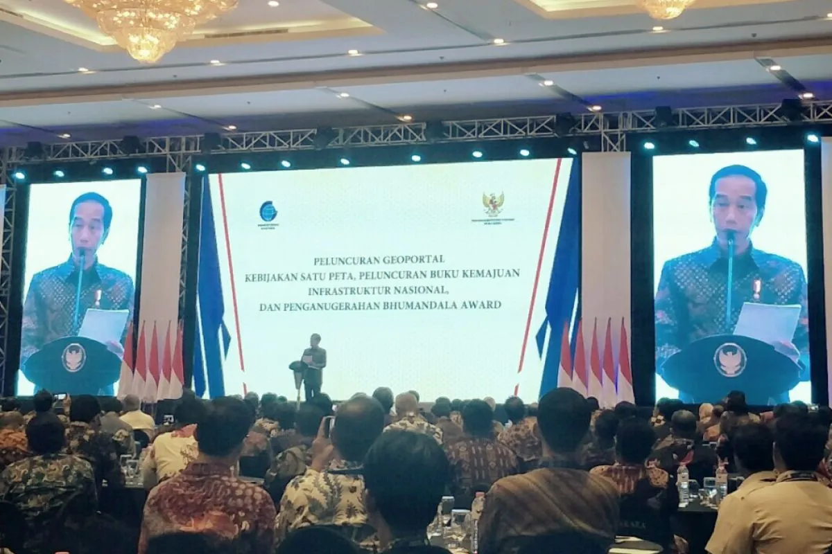
"In future, with the presence of a digital map, there is no need to issue a location permit. The location permit is not needed as everything would become clear," the president stated, when launching a One-Map Policy Geoportal and 2018 National Infrastructure Development Progress Book at Bidakara Hotel here, on Tuesday.
According to Jokowi, licensing procedures, in fact, complicate the efforts to encourage the development of the business world.
"The One-Map Policy will have an impact on many sectors, and we already have the commitment that this must be carried out," he noted.
Jokowi, who was also the former governor of Jakarta, revealed that his visits to various regions to monitor infrastructure development had led him to become aware of the fact that there were many overlapping land use problems in Indonesia.
"The more the visits (I) made, the more I knew of cases that are overlapping everywhere," Jokowi revealed.
The president added that he was happy because one map could currently integrated 83 of 85 thematic maps in Indonesia. "Therefore, I really appreciate it. We have been preparing this for a long time," he explained.
In addition to overcoming overlapping land use, the policy will also make development planning more accurate, because it is not only based on data but also on detailed maps.
"With this map, everything will be clear as to where to build irrigation, the dam, and to where the irrigation network would pass," he noted.
Jokowi stated that work related to the one-map policy had just begun. He asked ministries and state institutions to pay attention to and implement a number of things, namely the first is to immediately add the thematic maps that are needed to clarify the problem of overlapping land use.
The second is to immediately utilize the overlapping indicative map to resolve overlapping land use.
The third is to immediately utilize the one-map policy in the spatial-based development planning.
"Fourthly, each ministry and state institution needs to work together and collaborate to resolve the issue of overlapping issues and eliminate sectoral egos," he added.
The president also asked the regional government heads to accelerate the establishment of village and urban village boundaries as there are still many that are not yet finished.
" I also instructed the Geospatial Information Agency to formulate an effective data updating mechanism and prepare a base map on a larger scale," Jokowi pointed out.
Reporting by Agus Salim
Editing by Andi Abdussalam
Reporter: antara
Editor: Heru Purwanto
Copyright © ANTARA 2018


