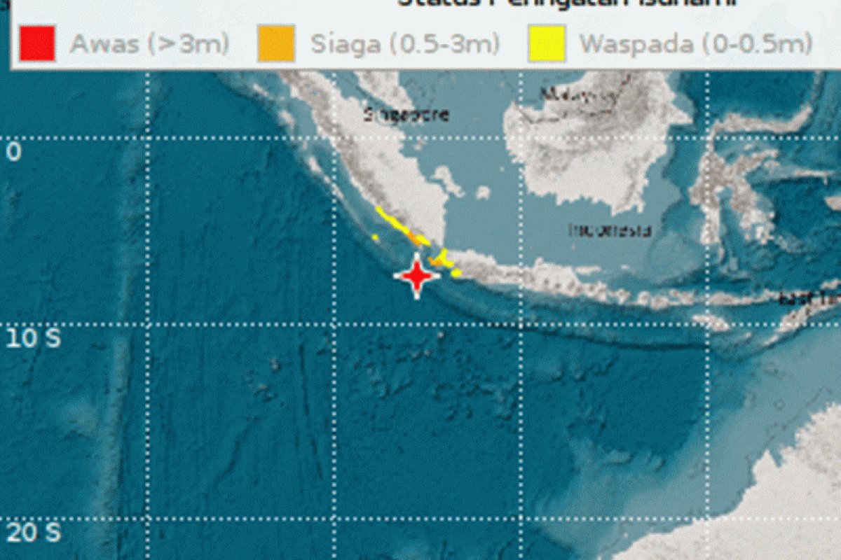
This earthquake has the potential of a tsunami with an early warning for the Southern Pandeglang region under threat-alert status (maximum height of 3.0 meters), Pandeglang on Panaitan Island threat-alert status (maximum height of 3.0 meters).
The other regions that have tsunami threats following the earthquake are Lampung-West Pesisir-South with threat-standby status (maximum height of 3.0 meters), North Pandeglang with threat-standby status (maximum height of 0.5 meters), Lebak with threat-standby status (maximum height of 0.5 meters).
BMKG hoped that people in those regions are "on standby" against any emergency and immediately evacuate if the tsunami hits. They are also required to heed every warning and stay away from coastal areas and river banks.
BMKG has asked people to only access and receive information regarding the incident and possible disasters from the agency which is distributed through official channels (Instagram/Twitter @infoBMKG), website (http://www.bmkg.go.id or inatews.bmkg.go.id), or via Mobile Apps (IOS and Android): wrs-bmkg (user: pemda, password: pemda-bmkg) or infobmkg.
Related news: Pangandaran, Banten, jolted by magnitude-5.9 earthquake
Translator: Joko Susilo/Bambang Purwanto
Editor: Suharto
Copyright © ANTARA 2019


