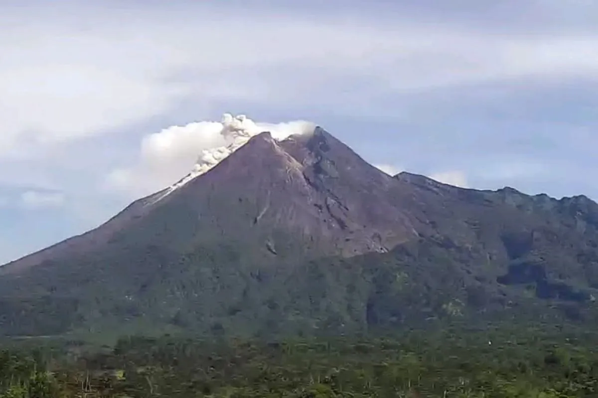
Eruption of the pyroclastic cloud occurred at 8:45 a.m. local time for a duration of 120 seconds and with a maximum amplitude of 45 mm, Hanik Humaida, head of the Center for Geological Disaster Research and Technology Development (BPPTKG), noted in a statement here on Saturday in Yogyakarta.
During the observation period from 6 to 12 a.m. local time, the BPPTKG also recorded seven lava avalanches, with a maximum glide distance of 500 meters toward the upstream of Kali Krasak.
The BPPTKG also recorded one avalanche and earthquake, with an amplitude of 45 mm and a duration of 120 seconds; 53 avalanches, with an amplitude of 3-27 mm and a duration of 9-91 seconds; seven earthquakes, with an amplitude of 3-6 mm and a duration of 13-18 seconds.
Also recorded were 54 hybrid/multi-phase earthquakes, with an amplitude of 3-27 mm and a duration of 5-11 seconds as well as 18 shallow volcanic earthquakes, with an amplitude of 38-75 mm and a duration of 11-48 seconds.
Related news: Public advised caution as Mount Merapi ejects hot clouds
Based on visual observations, white smoke of moderate to thick intensity appeared, reaching 100 meters high above the crater’s peak.
The BPPTKG maintains the status of Mount Merapi at Level III or Alert. The potential danger due to the eruption of Merapi is estimated to be within a maximum radius of five kilometers from the summit.
Tourism, climbing, and mining activities in rivers, whose upstream are located on the slopes of Mount Merapi, are recommended to be put on hold. (INE)
Related news: Government distributes tents, logistics to Mt Merapi evacuees
Translator: Luqman Hakim, Fardah
Editor: Yuni Arisandy Sinaga
Copyright © ANTARA 2021


