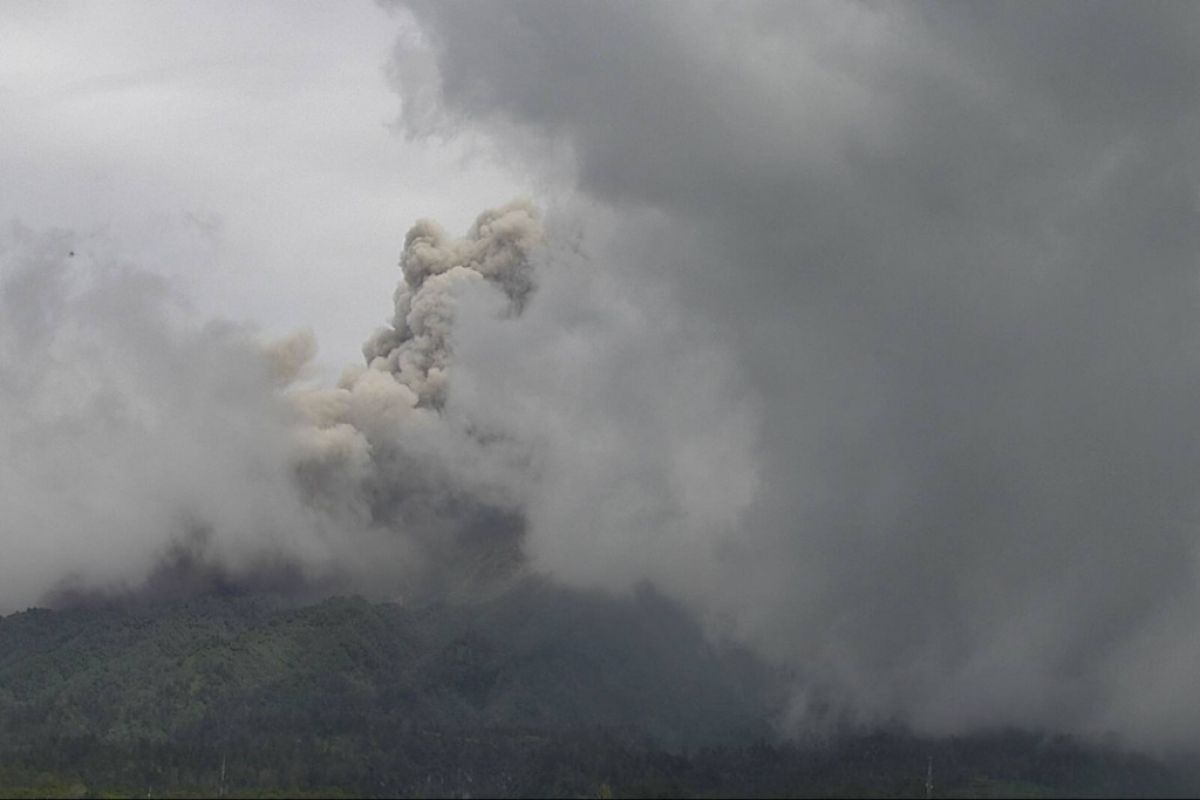
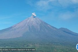
The initial eruption of pyroclastic clouds took place at 10:13 a.m. local time and had been recorded on a seismogram, with an amplitude of 69 mm and a duration of 175 seconds, the Center for Geological Disaster Research and Technology Development (BPPTKG) reported on its official Twitter account on Thursday.
"The height of the column could not be observed, as it is foggy. The estimated sliding distance is two thousand meters toward the southwest," the BPPTKG tweeted.
Based on BPPTKG’s observation data recorded on Wednesday, from 00:00 to 24:00 local time, Mount Merapi, located between the provinces of Central Java and Yogyakarta, spouted hot clouds 58 times, with a sliding distance of up to three thousand meters, and spewed material avalanches four times, with a maximum distance of 800 meters toward the southwest.
Related news: Ash rain blankets Boyolali after Mount Merapi belches hot clouds
The gliding distance of the hot clouds was still within the danger radius set by the BPPTKG, which is five kilometers from the summit of Mount Merapi in the south and southwest directions of the Boyong, Bedok, Krasak, Bebeng and Putih rivers.
During an explosive eruption, the materials could disperse as far as a three-kilometer radius from the peak.
Following the eruption on Wednesday, volcanic ash blanketed several villages in Tamansari Sub-district, Boyolali District, and Boyolali City.
Since January 4, 2021, Mount Merapi has entered an effusive eruption phase, also known as the Merapi type, which is categorized by eruptions, with activity in the form of lava dome growth, accompanied by lava flows and avalanches of hot clouds, the officials noted. Related news: Mt Merapi shoots up to 3,000 meters high ash clouds
Translator: Luqman Hakim, Fardah
Editor: Rahmad Nasution
Copyright © ANTARA 2021
