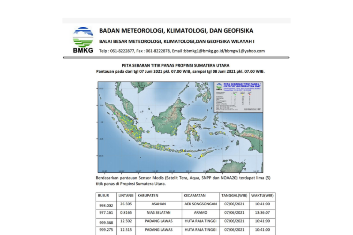
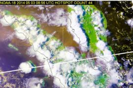
Out of the five hotspots, one each was found in North Padanglawas, Asahan District, and South Nias, while two in Padang Lawas.
The agency has forecast cloudy weather in North Sumatra in the evening, with light rains likely to occur in Langkat, Simalungun, Samosir, Toba, Tapteng, Taput, Humbahas and the surrounding areas.
The air temperature was recorded at 22.0-33.0 degrees Celsius, humidity at 60-95 percent, while the wind blew from the Southeast - Northwest at speeds of 5-30 kilometers per hour.
In late May 2021, activists of the Indonesian Environmental Forum (Walhi) chapter in South Sumatra reported about hundreds of hotspots, with the potential to trigger forest fires, in several districts in the province over the course of the last month. The local community and forest and land firefighting task force should apply preventive measures to stop hotspots from spreading, Executive Director of Walhi’s South Sumatra Chapter M. Hairul Sobri stated in Palembang, South Sumatra, recently.
The Aqua, Landsat-8, and NOAA satellites detected the hotspots in May in the districts of Ogan Komering Ilir, Banyuasin, and Musi Banyuasin, among others.
The hotspots were caused due to agricultural land, plantations, and forest areas being burnt and haze being produced, he remarked.
"In the current COVID-19 pandemic situation, haze arising from forest fire could be very hazardous, as it could trigger various health problems and also cause death," Sobri cautioned.
Ansori, an official of the South Sumatra disaster mitigation office (BPBD), remarked that his office and a joint forest and land fire control task force had taken various anticipatory measures through ground and aerial operations since the last two months. Related news: BMKG identifies seven hotspots in North Sumatra
Related news: BMKG detects 38 hotspots in North Sumatra
EDITED BY INE
Translator: Juraidi, Fardah
Editor: Suharto
Copyright © ANTARA 2021
