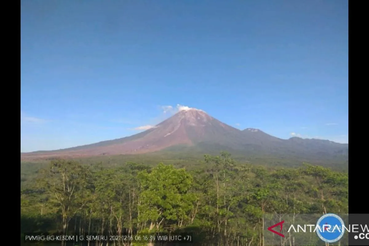
Furthermore, another pyroclastic avalanche was reported at 9:30 a.m. WIB whose distance could not be observed due to the fog.Lumajang, E Java (ANTARA) - A pyroclastic flow emitted by Mount Semeru in Lumajang District, East Java Province, on Thursday morning travelled a distance of 4.5 kilometers (km) toward Besuk Kobokan River, indicating increased volcanic activity.
"At 9:01 a.m. Western Indonesia Time (WIB), a pyroclastic flow was released from the Jonggring Saloko crater toward Besuk Kobokan River," an officer of the Mount Semeru Observation Post at Mount Sawur, Mukdas Sofian, stated via his report to the Lumajang District Regional Disaster Mitigation Agency (BPBD).
On Thursday between 6 a.m. and 12 a.m. WIB, it was observed that the weather at the mountain located at the border of the districts of Lumajang and Malang had changed from sunny to cloudy and then rainy.
Meanwhile, weak winds blew to the north, northeast, and southwest directions, with air temperatures of 24-27 degrees Celsius.
Related news: BNPB to ensure emergency response service ready at Mount Semeru
"Furthermore, another pyroclastic avalanche was reported at 9:30 a.m. WIB whose distance could not be observed due to the fog," the officer noted.
In addition, several seismic activities were recorded, comprising one eruption quake, with an amplitude of 25 millimeters (mm) for 70 seconds; two pyroclastic avalanche shocks, with an amplitude of 17-25 mm for 395-912 seconds; and one avalanche tremor, with an amplitude of five mm for 55 seconds.
"Four local tectonic earthquakes were also recorded. However, only one of them was sensed. In addition, there were two distant tectonic earthquakes," Sofian remarked.
The status of Mount Semeru -- at a height of 3,676 meters above sea level -- is still at Level II (Watch), although its activity has increased several times.
Meanwhile, Head of the Rehabilitation and Reconstruction Division of the Lumajang District BPBD Joko Sambang urged the community to abstain from conducting any activities within a radius of one km from the mountain’s peak and a distance of 5 km from the crater toward the southeast-south sector of the mountain.
"We urge residents to stay vigilant of pyroclastic flow, lava, and lahar (pyroclastic mudflow) avalanches along the rivers and valleys originating from the peak of Mount Semeru," he emphasized.
The division head stated that recommendation of the warning zone will be evaluated periodically according to the Volcanology and Geological Disaster Mitigation Agency's (PVMBG's) recommendations.
"People should stay away from the areas covered with pyroclastic flow material since it is of high temperature. In addition, we must be watchful for potential avalanches along the Besuk Kobokan River," he added.
Related news: Health Ministry checks air, food quality at refugee shelters
Translator: Zumrotun Solichah, Uyu Liman
Editor: Rahmad Nasution
Copyright © ANTARA 2021


