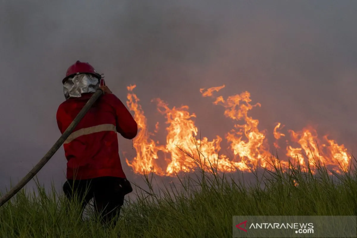
"There was a slight increase. This increase occurred in several provinces, in the two main provinces. These forest fires occurred outside forest areas and in non-mineral areas," Director General of Climate Change Control at the Ministry of Environment and Forestry Laksmi Dwanthi stated during the 2021 End of Year Reflection here, Thursday.
According to the Environment and Forestry Ministry's data, the burnt forest and land areas were mainly located in the provinces of West Nusa Tenggara (NTB) and East Nusa Tenggara (NTT).
Related news: Environment Ministry anticipates forest fires despite La Nina
The area of forest and land burnt in NTB in 2020 had reached 29,157 hectares and expanded to 100,908 hectares in 2021.
In NTT Province, the area of forest and land burnt reached 114,719 hectares in 2020 and increased to 137,297 hectares in 2021.
Dwanthi later noted that the area of forest and land burnt in 2021 reduced by 1,547,598 hectares, or 87 percent, as compared to the area of forest and land burnt in 2014.
In addition, the smoke arising from forest and land fires that occurred in 2020 and 2021 did not spread across national borders unlike the 2019 forest fire in Sumatra and Kalimantan in which the haze reached Malaysia and Singapore, she noted.
Dwanthi emphasized that the government should make efforts to prevent and control fires, especially in areas that frequently prone to them.
"We still have to focus on maintaining other areas outside the forest area, especially in the agricultural and plantation sites," she affirmed.
Related news: Collaboration crucial to deal with Indonesia's forest fires: ministry
Translator: Prisca T F, Resinta S
Editor: Suharto
Copyright © ANTARA 2021


