It is an important milestone in the utilization of geospatial information between BIG and BRIN.Jakarta (ANTARA) - The National Research and Innovation Agency (BRIN) and the Geospatial Information Agency (BIG) have agreed to cooperate in conducting research to strengthen national geospatial information.
"We have also agreed for the realization of the One Map Policy within the framework of the Unitary State of the Republic of Indonesia," Head of BRIN Laksana Tri Handoko informed in a written statement received here on Monday.
This is part of a priority program of the government to create a unified, accurate, and accountable map in the same scale to support development planning activities; infrastructure provision; issuance of permits, concessions, and land rights; as well as spatially-based national policy-making, he said.
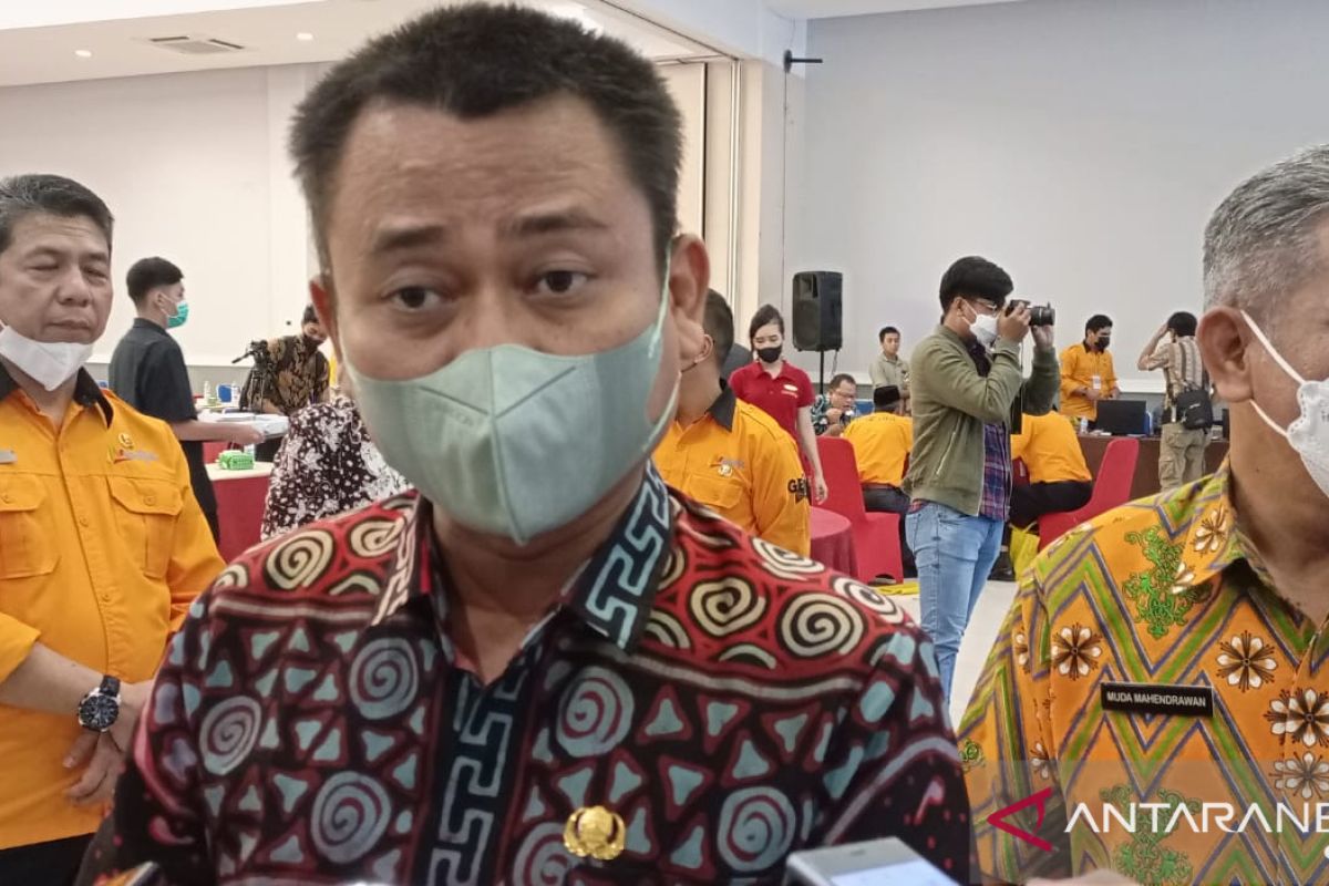
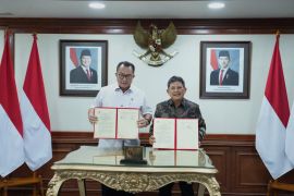
A Memorandum of Understanding (MoU) on the cooperation was signed by the head of BRIN and the head of BIG, Muh Aris Marfai.
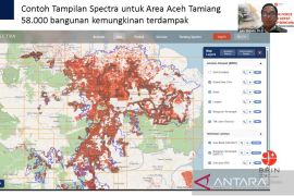
The scope of the MoU includes the implementation of geospatial research and innovation, utilization of geospatial research and innovations results, as well as sharing of geospatial data and information, he said.
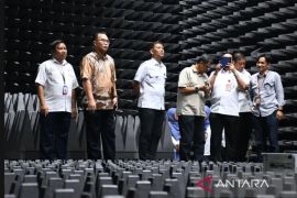
In addition, the two agencies will collaborate in utilizing geospatial research and innovation expertise, human resource development, as well as the use of facilities and infrastructure, he added.
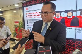
"It is an important milestone in the utilization of geospatial information between BIG and BRIN," Marfai remarked.
He said that to continue overseeing the establishment of the large 1:5,000-scale basic map for the next three years, BIG will need support from various parties, including BRIN.
Related news: Definitive map must for village development: lawmaker
Hence, the five-year collaboration between BRIN and BIG will synergize the resources and competencies of each agency for conducting research and generating innovations that can support the implementation of geospatial information and the establishment of optimal information services, he added.
The One Map Policy is a government program, which aims to compile, integrate, and synchronize various thematic geospatial information owned by various ministries and agencies into one basic map, he said.
It aims to avoid any different and overlapping geospatial information, which comes from various sources, he noted. Thus, BIG will be designated as the only reference, standard, and database regarding the information, he added.
Related news: Geospatial agency records 17 thousand islands in Indonesia
Translator: Martha Simanjuntak, Uyu Liman
Editor: Rahmad Nasution
Copyright © ANTARA 2022
