"Hail can generally occur from a towering cumulonimbus cloud system with significant air lability conditions, meaning they can form ice grains in large-sized clouds," BMKG's Head of Weather Prediction and Early Warning Miming Saepudin said here on Monday.
The phenomenon of strong 'downdraft' or the downward flow of air mass, which occurs in the cumulonimbus cloud system, especially during its mature phase, can cause huge ice grains to form, he explained.
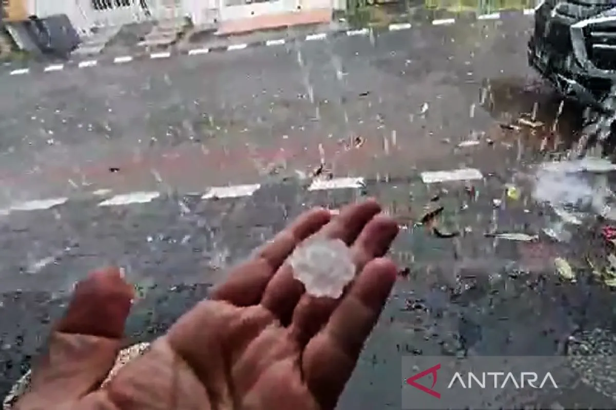
These ice grains fall to the bottom of the cloud and are then witnessed as hail, he added.
"The downdraft speed of the cumulonimbus cloud is quite significant, so it can cause the ice grains coming out of the cloud to not rapidly melt in the air, and even until they reach the earth's surface, they are still in the form of ice grains. This is known as the hail phenomenon," Saepudin elaborated.
Related news: BMKG forecasts hail, extreme weather in Java
The phenomenon of hail usually coincides with the occurrence of strong winds, he said.
Moreover, during March–April, the public should be aware of the possibility of extreme weather, such as hail, waterspouts, as well as heavy rain accompanied by lightning and strong winds, according to the BMKG.
Earlier, hail along with heavy rain and strong winds were reported in some parts of Surabaya city, East Java, on Monday afternoon. Hail was also seen in the regions of Madiun, Nganjuk, and Kediri.
In the neighboring province of Central Java, hail was recorded in Tembalang area, Semarang City, around 4 p.m. to 5:30 p.m. local time on Monday.
Related news: Several flight routes to Makassar diverted due to bad weather
Translator: Devi R, Kenzu T
Editor: Rahmad Nasution
Copyright © ANTARA 2022


