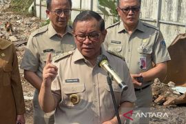
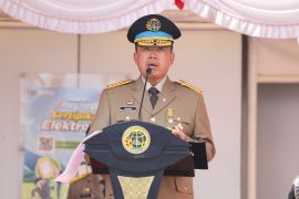
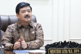
"If there is a disaster, we actually do not need to be afraid because there are regions safe from disasters," Environmental Geology Working Group Coordinator at the Agency Mochamad Wachyudi Memed noted.
"There are spatial planning rules. Thus, environmental geology plays a role," Memed noted in an online discussion themed "Understanding the Role of Environmental Geology in Confronting Geological Disasters, Case Study: Cianjur Earthquake Post-Disaster" on Thursday.
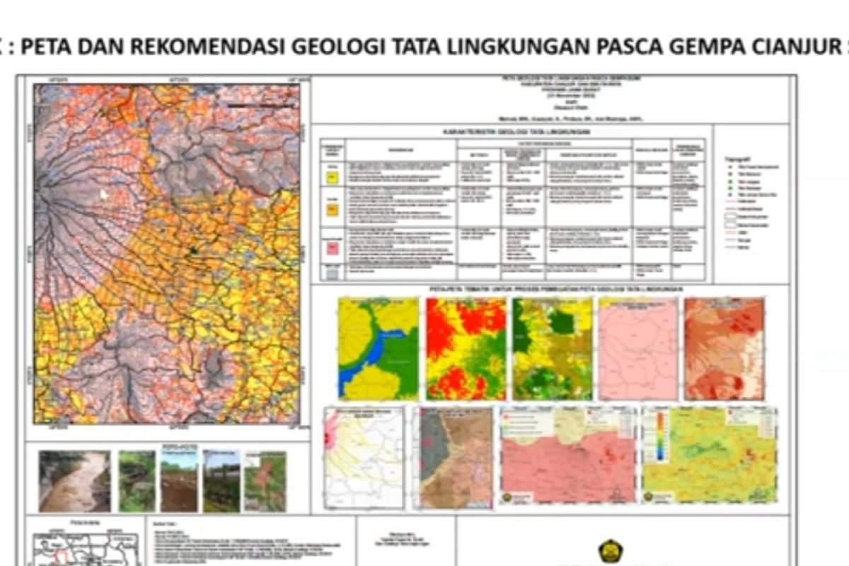
Memed remarked that the Geology Agency will issue a map to determine whether a region is safe for certain purposes, such as for residential purposes.
"In Indonesia, there are subduction, volcanoes, and erosion susceptibility that we categorized in a simple manner. We create a map that can help in the spatial planning policy process," he stated.
According to Memed, the provision of geological information will be able to optimize land and natural resources' utilization while also reducing the risk for disasters.
In relation to the earthquake in Cianjur, West Java, on November 21, 2022, Memed attributed the high earthquake victim count to the fact that the residents live in a disaster-prone area.
"This is because the geological condition is very beneficial for humans," he remarked.
On the occasion, Head of the Groundwater and Environmental Geology Center at the Agency Siti Sumilah Rita Susilawati noted that everyone agreed that natural disasters cannot be stopped, but we can still prepare ourselves by keeping up with information.
"Knowledge can be gained through activities, such as investigation and evaluation. We, the Geology Agency, are conducting this, so that Insya Allah (God willing), we can minimize the victim count in future," she remarked.
Related news: Jakarta opens disaster literacy center to boost education
Related news: BPBD distributes clean water to Kupang's flood-affected residents
Translator: Zubi Mahrofi, Fadhli Ruhman
Editor: Rahmad Nasution
Copyright © ANTARA 2022
