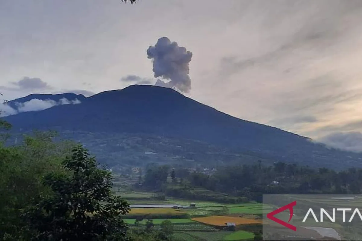
"The first eruption occurred at 6:11 a.m. local time, with a burst of volcanic ash flying 300 meters above the peak and with a magnitude of 13.4 mm and a duration of 45 seconds," PVMBG's Marapi Volcano Observation Post staff, Ahmad Rifandi, stated.
Seismograph recorded Mount Marapi erupting volcanic ash for the second time at 9:44 a.m. local time, 200 meters above the peak, with a magnitude of 2.4 mm, and lasted 1 minute and 49 seconds.
It was followed by the third eruption at 10:34 a.m., the fourth at 11:35 a.m., the fifth at 11:44 a.m., the sixth at 12:30 p.m., and the seventh at 2:51 p.m. local time.
Rifandi stated that Mt. Marapi's last eruption was recorded in 2017 while adding that the volcano currently remains at Level II, or Careful.
With the Level II status, he advised residents and visitors around Mt. Marapi to not conduct activities within a radius of three kilometers from the crater, as it is the source of dangerous volcanic gases.
"Communities around Mt. Marapi must remain calm and not become provoked by issues (false information) about the eruption and always coordinate with PVMBG and follow the local government's directions," he remarked.
Meanwhile, Acting Chief of the Agam Disaster Mitigation Agency (BPBD), Bambang Warsito, requested mount climbers to share the latest information on the situation at Mt. Marapi.
"Information chain from groups of nature lovers and mount climbers to anticipate unfortunate possibilities," he stated.
Several mount climbers were still reportedly camped around Mt. Marapi.
Meanwhile, the local Natural Resources Conservation Agency (BKSDA) has recommended communities living near the volcano to avoid the three-km radius from the crater.
Related news: Mount Anak Krakatau spews 750 m ash column: official
Related news: People should adhere to disaster-prone area map: PVMBG
Related news: Some 1,979 residents evacuated due to Mount Semeru eruption: BNPB
Translator: Miko E, Kenzu
Editor: Sri Haryati
Copyright © ANTARA 2023


