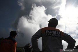
The tip of the hot cloud avalanche was observed on the southwest side of the Bebeng River flowYogyakarta (ANTARA) - The Geological Disaster Technology Research and Development Center (BPPTKG) reported that Mount Merapi had emitted 60 hot cloud avalanches since Saturday (March 11).
Head of BPPTKG Agus Budi Santoso stated that the number refers to the survey conducted by the Geological Agency's Drone Team after the first eruption on March 11.
"Since March 11, Mount Merapi spewed hot clouds towards Bebeng River. Until Monday, there have been 60 incidents of hot cloud avalanches," he noted in a statement received here, Monday.
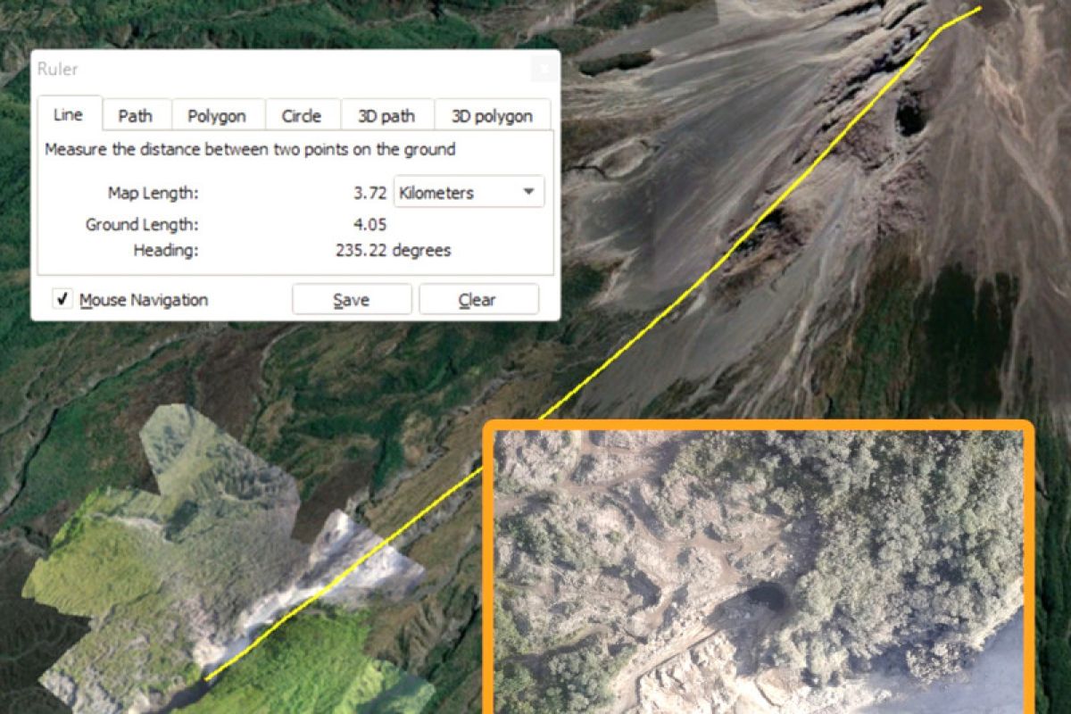
Meanwhile, based on aerial photography monitoring using drones, the sliding distance of hot clouds reached the furthest 3.7 kilometers from the summit of Mount Merapi, he stated.
"The tip of the hot cloud avalanche was observed on the southwest side of the Bebeng River flow," Santoso remarked.
This data corrects the previous BPPTKG report which stated that the maximum sliding distance of hot avalanches was four kilometers.
After the series of hot cloud avalanches, he noted that the status of Mount Merapi was still at the Alert level or Level III.
He remarked that the potential danger at this time is in the form of lava avalanches and hot clouds that can reach Woro River as far as a maximum of three kilometers from the peak; Gendol River and Boyong River, with a maximum of five kilometers from the peak; and Bedog, Krasak, and Bebeng rivers, with a maximum of seven kilometers from the peak.
Meanwhile, if an explosive eruption occurs, volcanic material can reach a radius of three kilometers from the crater, he stated.
The BPPTKG also reminded the public to be aware of the dangers of lava, especially when it rains at the peak of the mountain.
"As the rainy season is still occurring in Yogyakarta and Central Java, the BPPTKG urges the public to be aware of the dangers of lava, especially when it rains at the peak of Merapi," he noted.
After the first eruption on March 11, an officer at the Mount Merapi monitoring post in Babadan, Magelang, Yulianto, reported that several villages were affected by ash rain: Paten, Keningar, Mangunsuko, Dukun, and Sengi in Magelang District and Tlogolele, Klakah, Jrakah, Wonolelo, and Krogowanan in Boyolali District.
Related news: School in Tlogolele remains open despite Mt Merapi's recent eruptions
Related news: Magelang City govt anticipates impact of Mt. Merapi eruption
Related news: Mt. Merapi spews hot clouds, causes ash rain in Magelang
Translator: Luqman Hakim, Resinta S
Editor: Sri Haryati
Copyright © ANTARA 2023
