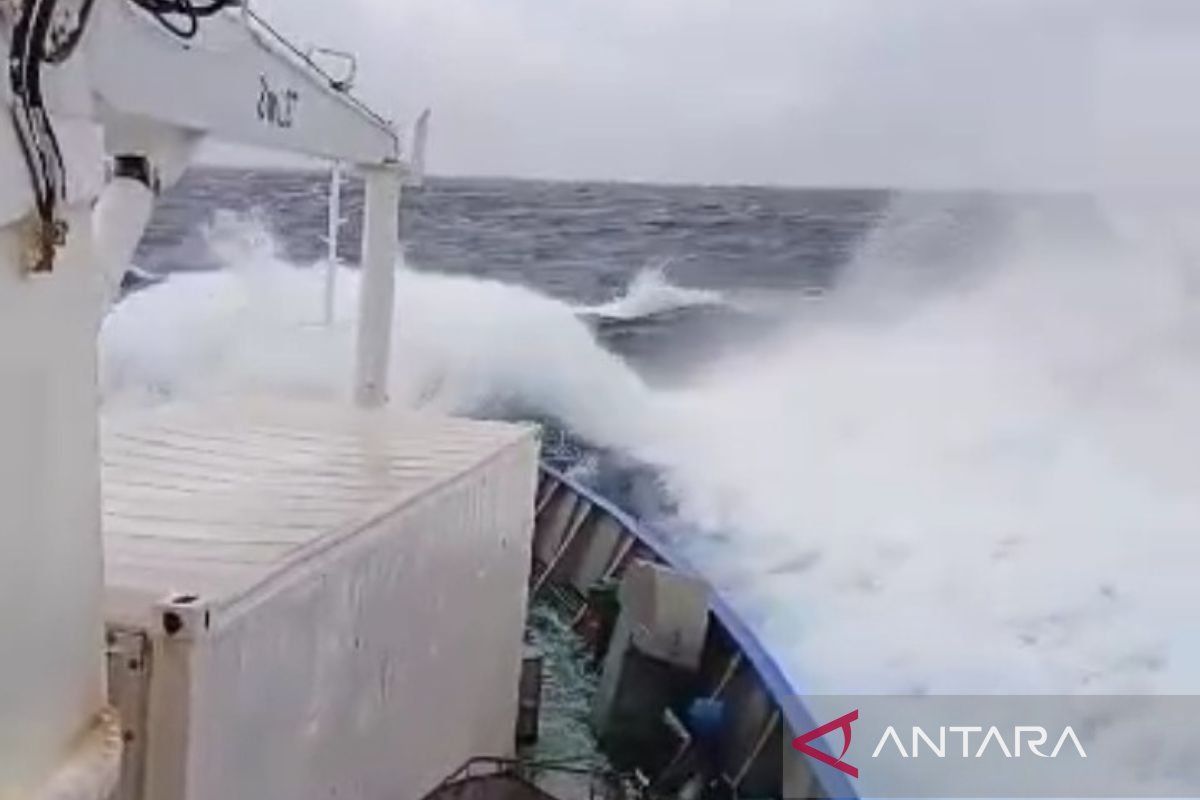
"The highest wind speeds were observed in the northern Malacca Strait, the North Natuna Sea, the waters of the Talaud Islands, the waters of the Sermata Islands-Tanimbar Islands, and the Arafuru Sea,"Jakarta (ANTARA) - The Meteorology, Climatology, and Geophysics Agency (BMKG) warned those in coastal areas to be aware of the potential of nearly four-meter-high waves in some Indonesian waters from January 30 to February 1, 2024.
"Please ask people, who live and move on the coast around areas where there is a likelihood of high waves, to remain vigilant," Head of the BMKG Maritime Meteorology Center Eko Prasetyo stated in Jakarta, Tuesday.
Prasetyo noted that wind patterns in the northern part of Indonesia generally moved from the north-northeast, with wind speeds ranging from four to 30 knots, while in the southern part of Indonesia, the wind movements were generally from the west-northwest, with speeds of four to 30 knots.
"The highest wind speeds were observed in the northern Malacca Strait, the North Natuna Sea, the waters of the Talaud Islands, the waters of the Sermata Islands-Tanimbar Islands, and the Arafuru Sea," he pointed out.
This condition causes an increase in waves reaching as high as 1.25-2.5 meters to occur in the northern Malacca Strait, the northern waters of Sabang, the western waters of Aceh, the western waters of Simeulue Island-Mentawai Islands.
High waves are also likely to occur in the waters of Bengkulu-west of Lampung, the West Indian Ocean of Sumatra, western and southern Sunda Straits, southern waters of Banten-East Java, southern waters of Bali-Sumba Island, Bali-Lombok-Alas Strait, Sawu Sea, and waters of Sawu Island -Kupang-Rotte Island.
Moreover, high waves can likely be witnessed in the North Natuna Sea, Anambas Islands-Natuna Islands, Natuna Sea, eastern Sulawesi Sea, Sitaro Islands, Bitung-Likupang Islands, Maluku Sea, northern Sula Islands, Banda Sea, Sumbawa Sea, Flores Sea, Sermata Islands-Tanimbar Islands, southern Kai Islands-Aru Islands, Arafuru Sea, Halmahera Sea, and northern Wadi.
Meanwhile, he stated that higher waves, in the range of 2.50 to four meters, may occur in the waters of Sangihe Islands, waters of the Talaud Islands, and the North Pacific Ocean of Halmahera.
Prasetyo urged the public, especially fishermen, to be aware of high shipping safety risks, such as with fishing boats, with wind speeds over 15 knots and wave height above 1.25 meters, and barges, with wind speeds over 16 knots and wave height above 1.5 meters.
Caution should also be exercised for those operating ferries, with wind speeds of more than 21 knots and wave height above 2.5 meters, and large-size ships, such as cargo ships and cruise ships, with wind speeds of more than 27 knots and wave height above four meters.
Related news: BMKG issues early warning of high waves, bad weather in Banten waters
Related news: Ecological consideration important for managing coastal areas: govt
Translator: Zubi Mahrofi, Yuni Arisandy
Editor: Arie Novarina
Copyright © ANTARA 2024
