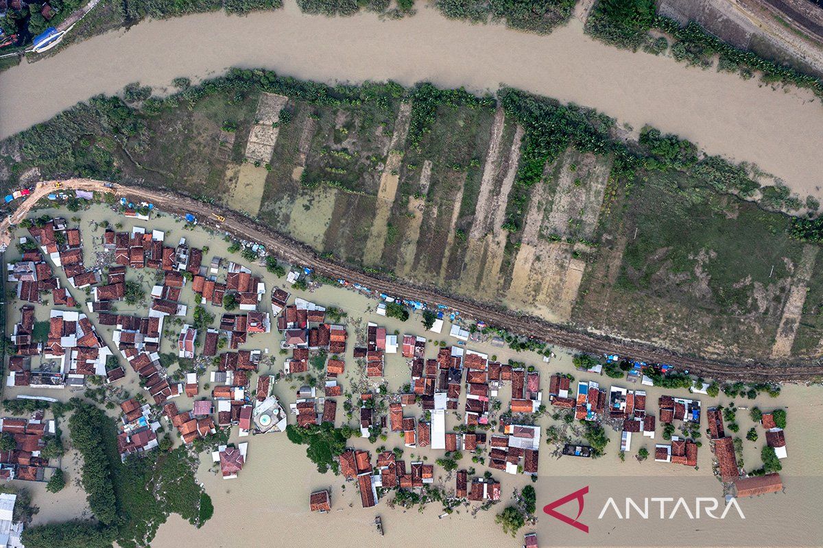
"In the Dutch colonial era, forest clearing was very intense and caused erosion. Then, sedimentation caused the Muria Strait to become land," said Eko Soebowo, a researcher at BRIN's Geological Disaster Research Center, on Wednesday.
Forest clearing and erosion since the seventh century have been recorded in the south part of the Muria Strait and on the slopes of Mount Muria, he said.
He elaborated that the eroded materials carried by floodwaters gradually filled the strait, causing it to become shallower and eventually disappear as Muria Island merged with Java.
He cautioned that this land formed from sedimentation has not undergone complete compaction, making buildings on it susceptible to collapse.
"In the past, the floods carried the sediment into the Muria Strait, and the water receded, so that land was formed," Soebowo explained.
He then urged the public to be wise when taking underground water. Excessive groundwater extraction activities have caused severe land subsidence in Demak and Kudus in Central Java.
Climate change, which has led to ice melts at the North and South Poles, has also increased sea levels and become a serious threat that could potentially cause the Muria Strait to resurface, he cautioned.
However, Soebowo said that the recent floods in the Muria Strait were a purely natural phenomenon triggered by extreme weather.
Related news: Flash floods in Central Java's Kudus affected 39,272 residents: BPBD
Related news: Kudus residents warned against conducting activities in flood-hit area
Translator: Sugiharto P, Kenzu
Editor: Anton Santoso
Copyright © ANTARA 2024


