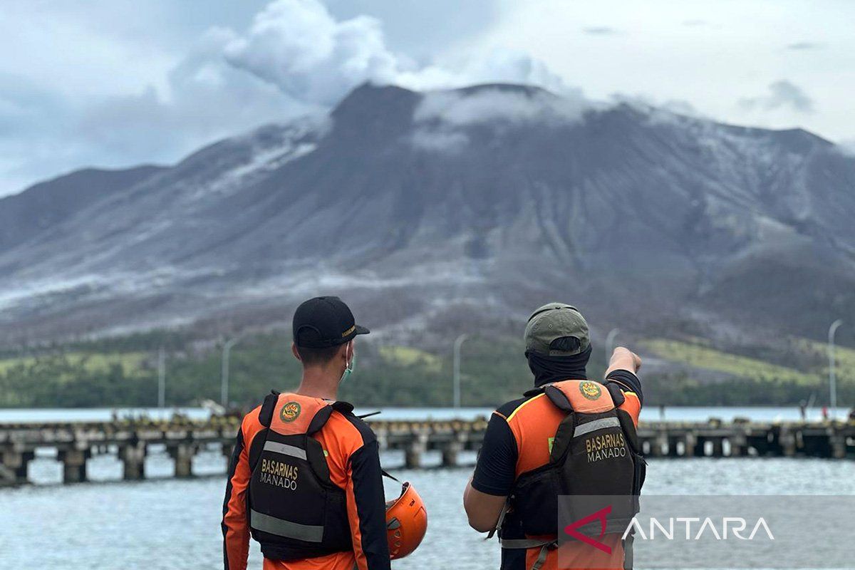
"Communities around Mount Ruang as well as visitors are expected to remain alert and not enter the 4-kilometer radius area from the center of the active crater," said Farid Ruskanda Bina, an officer at the post, on Thursday.
He urged people living within the radius of Mount Ruang in Tagulandang Island, Sitaro Islands District, to immediately evacuate to a safe place outside that range.
In addition, the public is advised to always wear masks to avoid exposure to volcanic ash that can disrupt the respiratory system.
Communities around Mount Ruang are also advised to remain calm, conduct their activities as usual, avoid being provoked by rumors about eruptions, and continue to monitor developments in the mountain's activities through a mobile application called MAGMA Indonesia.
Bina stated that visually, Mount Ruang could be seen clearly, with low-pressure crater smoke appearing white in light and medium to thick intensity as high as 100–150 meters from the top of the crater.
He also recorded two shallow volcanic earthquakes with an amplitude of 8–9 millimeters, lasting for seven to eight seconds.
In addition, two volcanic earthquakes were recorded, with an amplitude of 10-15 millimeters for 10–12.5 seconds, as well as five distant tectonic earthquakes, with an amplitude of 3–15 millimeters for 67–130 seconds.
"The status of Mount Ruang is at alert level III," he remarked.
Related news: Evacuation plan crucial despite Mount Ruang's alert level drop: BNPB
Related news: Mt Ruang Task Force continues evacuating residents in dangerous area
Translator: Karel Alexander Polakitan, Katriana
Editor: Anton Santoso
Copyright © ANTARA 2024
