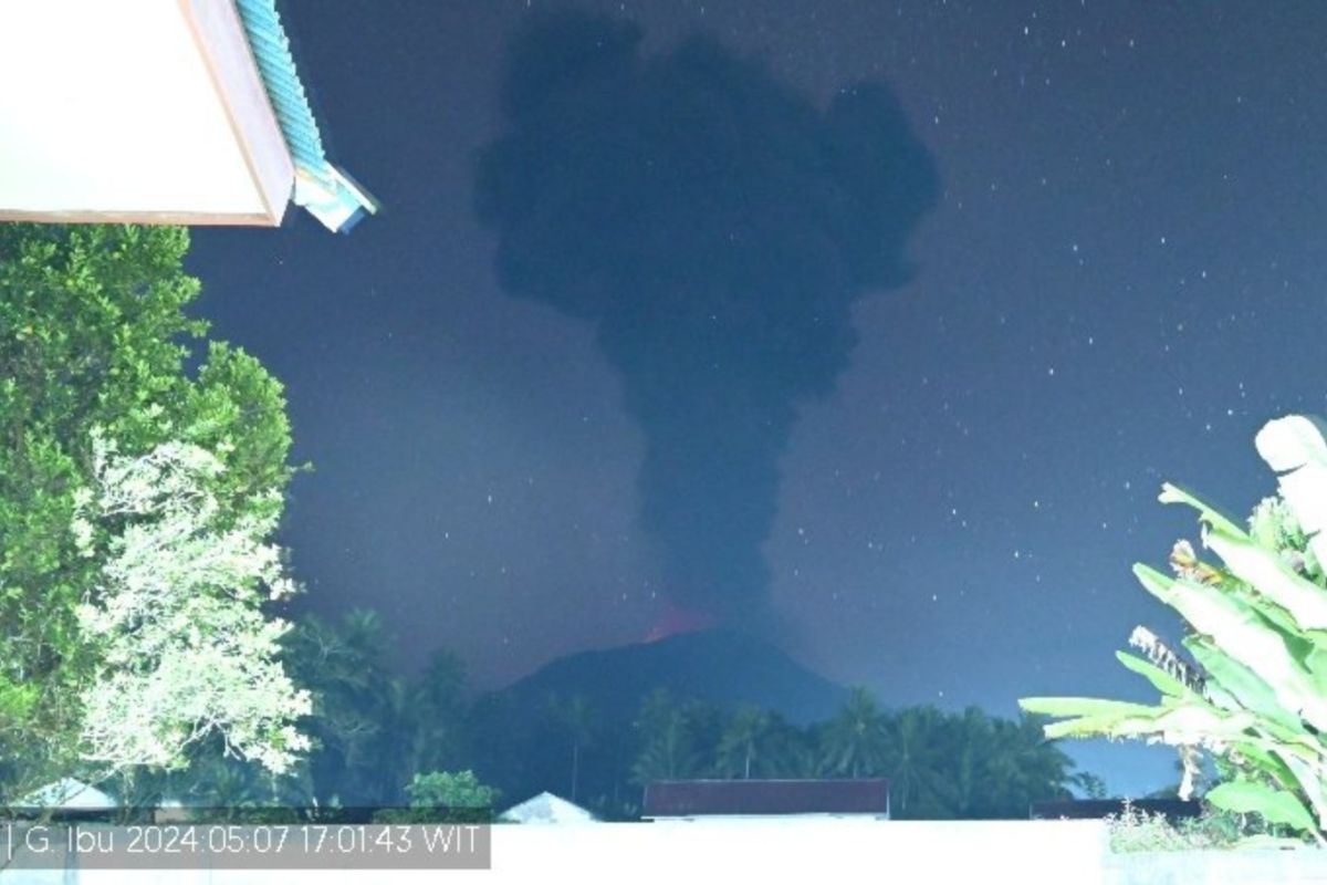
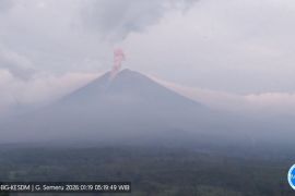
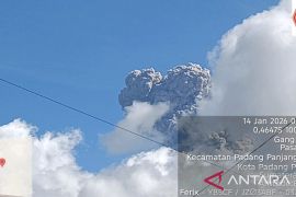
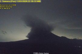
Based on reports on the Magma Indonesia page, the ash column was observed to be gray to black in color with thick intensity towards the east and southeast.
The eruption was recorded on a seismograph, with a maximum amplitude of 28 mm for 127 seconds.
People around the mountain, including tourists, are advised to not conduct activities within a 2 km radius and a sectoral extension of up to 3.5 km towards the crater in the northern part of the active crater.
People engaging in outdoor activities are also advised to wear masks and glasses to protect against ashfall.
Related news: North Maluku's Mount Ibu erupts again, sending ashes westward
The public is also urged to always follow directions from the local government.
Meanwhile, all parties are also advised to maintain a conducive situation and not spread false narratives and avoid being provoked by rumors from unclear sources.
Mount Ibu, with a height of 1,325 meters above sea level, is located in the northwest of Halmahera Island and has Level II (Alert) status.
The peak of the active volcano is a volcanic crater one kilometer wide and 400 meters deep, while the outer part is 1.2 kilometers wide.
On April 28, 2024, Mount Ibu experienced eight eruption earthquakes, two avalanche earthquakes, 43 gust earthquakes, six harmonic earthquakes, one tornillo earthquake, 451 shallow volcanic earthquakes, eight deep volcanic earthquakes, and 22 distant tectonic earthquakes.
Translator: Fathur Rochman, Katriana
Editor: Yuni Arisandy Sinaga
Copyright © ANTARA 2024
