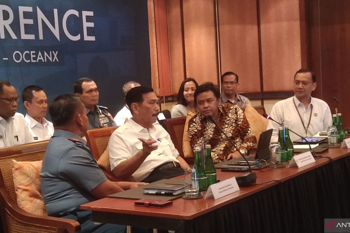
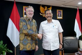
"This program lasts three months and is expected to continue," Coordinating Minister for Maritime Affairs and Investment, Luhut Binsar Pandjaitan, stated in a press conference in Nusa Dua, Bali, on Wednesday.
The ministry and the National Research and Innovation Agency (BRIN) started the exploration mission on May 8, 2024, from Sambu Island, Riau Islands.
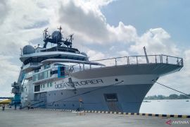
The expedition with the modern vessel, OceanXplorer, continued to other regions by stopping at Banda Aceh, Teluk Bayur in Padang, Tanjung Priok Jakarta, Benoa Denpasar Bali, Labuan Bajo NTT, and ending in Bitung, North Sulawesi, scheduled for August 25, 2024.
According to Pandjaitan, the focus of the research expedition was marine biodiversity, carbon potential, fish stocks, assessment, and earthquake mapping, namely investigating megathrust zones to improve earthquake and tsunami models.
The minister expects this research to support social welfare by discovering potential product innovations and solutions in various fields, including medicine or biotechnology.
"Most importantly, this expedition is an opportunity to study the potential for earthquakes and tsunamis," he revealed.
On the other hand, Head of BRIN, Laksana Tri Handoko, explained that since 2022, his side has supported maritime expeditions with hundreds of sailing days each year using its research vessels and partnering with foreign vessels, such as the OceanXplorer.
The program is open to all scientists selected based on open participation requests and competitive collaboration.
The Indonesian research team comprises representatives from BRIN, universities, and Indonesian conservation organizations.
Meanwhile, Co-CEO and Chief Science Officer of OceanX, Vincent Pieribone, virtually explained that comprehensive marine data can strengthen decision-making for sustainable fisheries management, effective conservation strategies, and natural disaster mitigation efforts.
Indonesian waters play an important role in the economy, geopolitics, culture, and natural environment of the country, he revealed.
This exploration is expected to map out marine biodiversity, especially in the deep sea, of which only 19 percent had been mapped out by the government.
Indonesia's coastline reaches 108 thousand kilometers, and more than 70 percent of its area is water.
Related news: AIS Forum launches blue economy research and development center
Related news: Ocean research in Indonesia still lacking: BRIN
Translator: Dewa Ketut S W, Resinta Sulistiyandari
Editor: Rahmad Nasution
Copyright © ANTARA 2024


