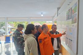
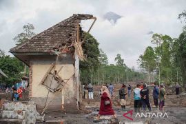
"We're considering expanding the danger zone. We'll continue to assess the situation on the ground to determine if further increases are necessary. For now, the current radius remains 7–8 kilometers from the peak," said PVMBG head Hadi Wijaya at a press conference on the same day.
The two secondary eruptions, which occurred around 1:55 p.m. local time (UTC+8), prompted PVMBG to evaluate the need for an expanded danger zone.
In a danger zone, human activity is prohibited within a specified radius due to the high risk of volcanic hazards.
The initial eruption of Mount Lewotobi Laki-laki ejected volcanic ash to a height of up to 4 kilometers. A more powerful second eruption sent ash up to 8–10 kilometers, accompanied by a thunderous roar.
Wijaya reported that the eruption not only released volcanic ash but also hot clouds carrying thick sand.
The hot clouds, which initially moved westward, later dispersed in multiple directions.
Eight monitoring post officers in Pululera village, Wulanggitang, were forced to evacuate to a location 8 kilometers away from the peak due to the series of eruptions.
"This situation highlights the importance of the public following government recommendations," Wijaya said.
The alert status of Mount Lewotobi Laki-laki remains at the highest Level IV.
Mount Lewotobi erupted on Monday (November 4) at 2:48 a.m. local time. The eruption, as recorded on a seismogram, had a maximum amplitude of 17 millimeters and lasted approximately three minutes and five seconds.
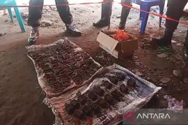
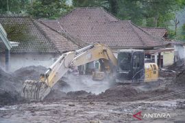
The eruption caused nine deaths and injured 63 people, with 31 sustaining severe injuries and 32 suffering minor injuries.
On Thursday at 11:15 a.m. local time, the volcano's monitoring post recorded another eruption, with ash reaching a height of 5 kilometers from the peak.
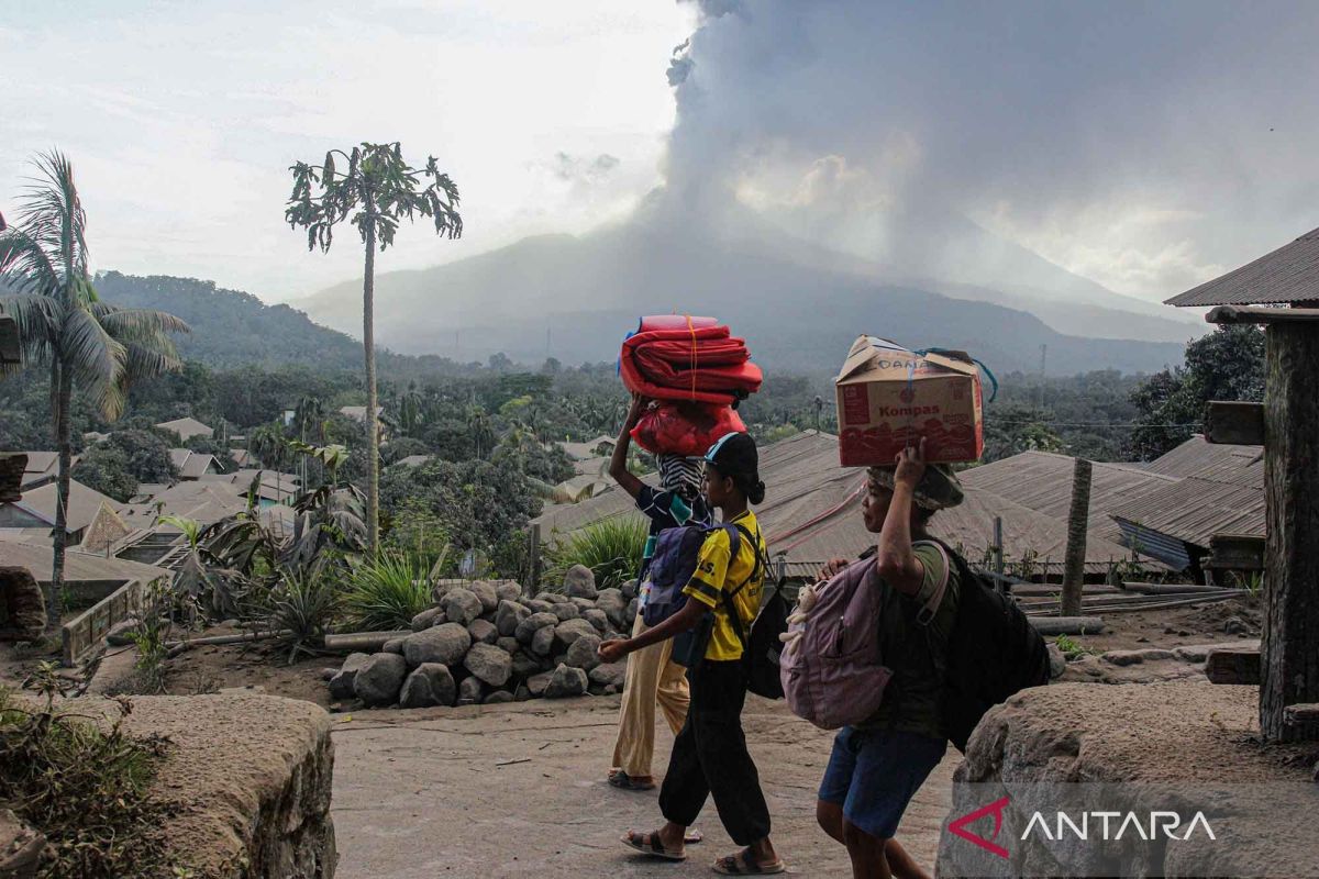
According to the BNPB's Disaster Mitigation Operations Control Center, at least 10,295 people, or 2,734 families, have been affected by the disaster.
They are residents of several villages in Ile Bura, Titehena, and Wulanggitang sub-districts.
The agency confirmed that it has established evacuation sites at six locations in East Flores and Sikka districts.
Related news: Mt Lewotobi: Flights remain unviable due to hot clouds
Related news: Indonesian govt grants monthly housing aid for Mount Lewotobi evacuees
Reporter: M. Riezko Bima Elko Prasetyo, Aditya Eko Sigit Wic
Editor: Anton Santoso
Copyright © ANTARA 2024
