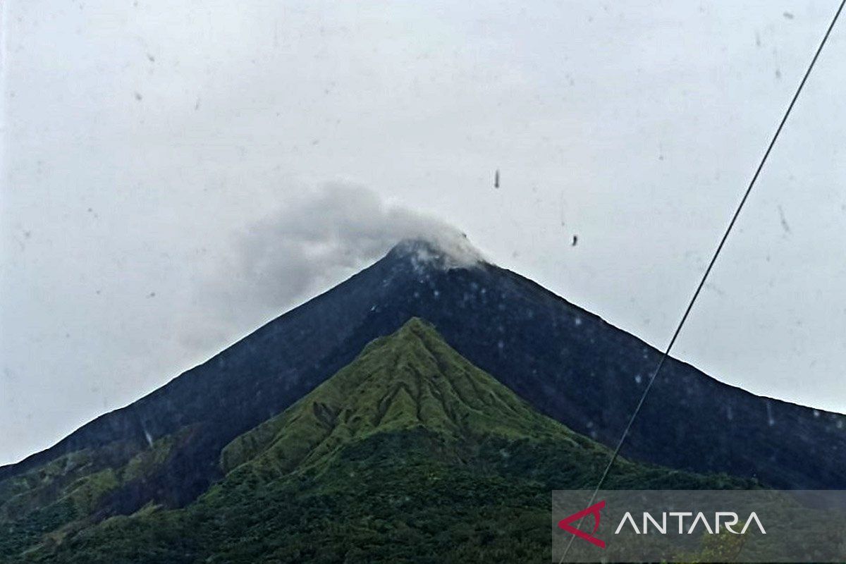
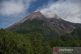
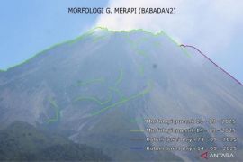
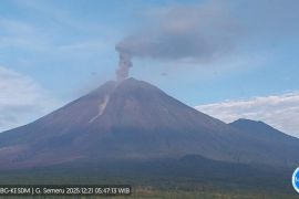
"Beware of pyroclastic flows when the old lava dome at the mountaintop collapses," Head of the Geological Agency, Muhammad Wafid, said in a report issued on Sunday.
He explained that pyroclastic flows from the volcano form due to accumulating lava and volcanic mudflows during rain.
The evaluation report of Mount Karangetang stated that, based on visual observations, there were no effusive lava avalanches or eruptions.
Meanwhile, deep volcanic earthquakes recorded this week show that the accumulation of magma in the interior of the volcano is likely to move from deep to surface. The frequency of earthquakes increased slightly but was not significant.
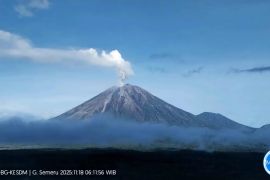
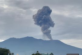
Based on visual observations, the northern crater emitted thin to thick smoke as high as 200 meters above the summit.
The Geological Agency reported that during November 16–22, there were 14 earthquakes induced by volcanic gas emission, 10 multi-phase earthquakes, 37 shallow volcanic earthquakes, 30 deep volcanic earthquakes, five local tectonic earthquakes, and 52 distant tectonic earthquakes.
On November 11, Mt. Karangetang's alert status was raised to Level 3/Standby after the frequency of earthquakes in the region increased.
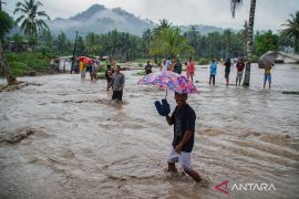
On Friday, the Center for Volcanology and Geological Hazard Mitigation (PVMBG) warned local residents about potential volcanic material floods.
Related news: PVMBG urges residents to beware of Mount Karangetang's hot clouds
Related news: Mount Karangetang status still on alert Level III: PVMBG
Translator: Karel P, Kenzu
Editor: Anton Santoso
Copyright © ANTARA 2024
