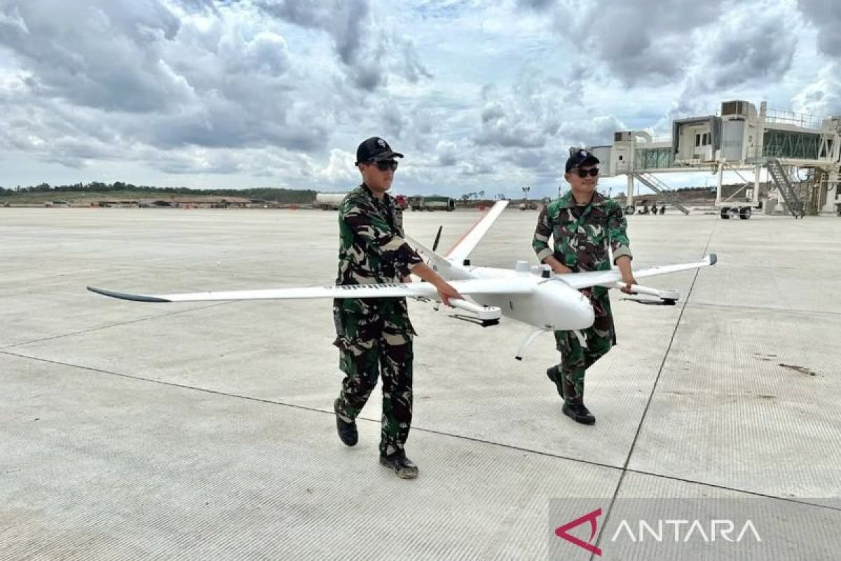
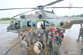
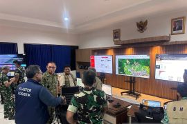
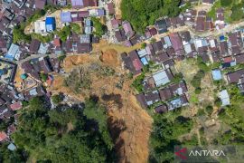
As part of the support, the Air Force's Aerial Survey and Photography Service deployed drones to map the area of Nusantara airport.
According to a statement issued by the Air Force on Monday, this was a significant step to support national development through the use of modern, accurate, and efficient aerial survey technology.
The Air Force emphasized that aerial mapping was needed so that the government has complete data on the layout and area of the Nusantara airport.
With the complete layout and information, it explained, the government can carry out airport infrastructure development optimally.
To carry out aerial mapping, the Air Force deployed drones to photograph land from an altitude of 900 feet and a coverage area of 35 square kilometers.
The data collected from the aerial photos will be further processed as geospatial information to support infrastructure development planning in Nusantara.
The operation was carried out by the Indonesian Air Force from December 9 to 13, 2024.
With this effort, the Air Force hopes that the development of Nusantara airport infrastructure can be carried out optimally and on target, in line with needs.
Related news: OIKN to unveil several IKN infrastructures in December 2024
Related news: Govt relocation to IKN planned in 2028: presidential office
Translator: Walda Marison, Yashinta Difa
Editor: Arie Novarina
Copyright © ANTARA 2024
