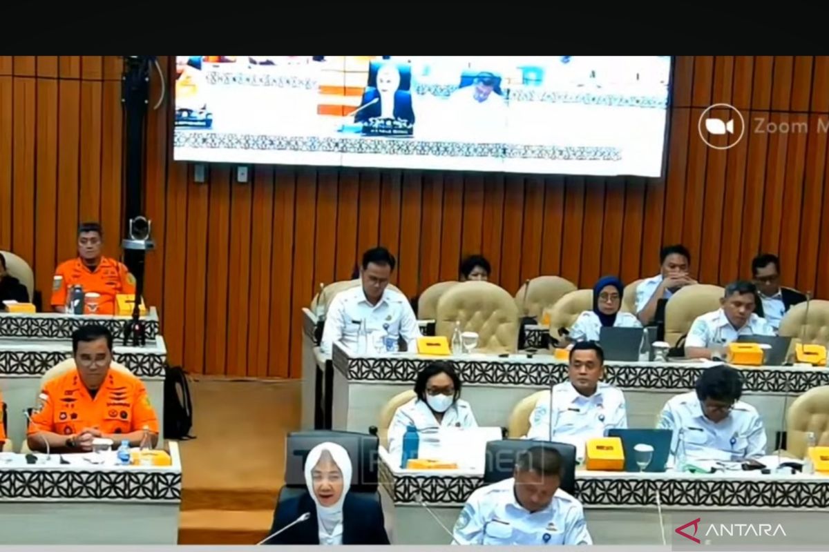
In a hearing session with Commission V of the Indonesian House of Representatives (DPR RI) in Jakarta on Wednesday, BMKG Head Dwikorita Karnawati said this step aims to strengthen disaster monitoring and transportation safety.
"The target is to add weather radars with a range of up to 400 kilometers at four locations, radars with a 250-kilometer range at one location, and 13 maritime radars in coastal areas," she explained.
She added that the upper-air observation network will increase from 29 to 33 units, and one unit will be added to create seismic vulnerability maps in major cities to support spatial planning and earthquake-resistant building standards.
BMKG also plans to develop a high-resolution forecasting system at 16,740 locations for village-based climate monitoring, supporting food security efforts.
In the maritime sector, BMKG is developing a safety score system for 21 vessels to enhance maritime transportation services.
"All of these plans require adequate budget support to be realized by 2026," Karnawati said.
She emphasized that strengthening weather, maritime, and seismological observation networks is part of efforts to reduce the risk of hydrometeorological and geological disasters that threaten Indonesia annually.
Related news: No forest fire smoke reaching other countries: BMKG
Related news: New weather radar in Cilacap strengthens early disaster warnings
Translator: Arie Novarina
Editor: M Razi Rahman
Copyright © ANTARA 2025
