According to the Center for Volcanology and Geological Hazard Mitigation (PVMBG), part of the Ministry of Energy and Mineral Resources, the eruptions occurred at 7:22 a.m., 8:23 a.m., and 9:01 a.m. local time (WITA).
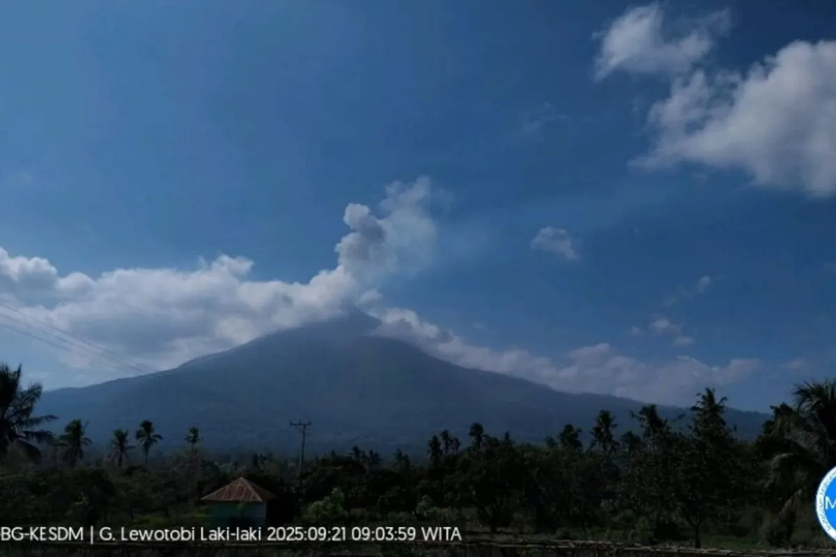
The first eruption sent an ash plume 800 meters above the summit, or 2,384 meters above sea level. The gray ash was moderately thick and drifted southwest.
The event was recorded on a seismograph with a maximum amplitude of 29.6 mm and lasted one minute and 36 seconds.
The second eruption, also producing an 800-meter ash column, had a thinner intensity and the plume again drifted southwest. It registered a maximum amplitude of 44.4 mm and lasted one minute and 17 seconds.
Related news: Mount Lewotobi Laki-laki in East Flores erupts three times
The third eruption generated a 700-meter plume, or 2,284 meters above sea level. The gray ash plume was moderate and drifted southwest and west. It showed a maximum amplitude of 44.4 mm and lasted one minute and 16 seconds.
Mount Lewotobi Laki-laki remains at Level IV alert (Awas), the highest on Indonesia’s four-tier scale.
Authorities have warned residents and visitors to avoid all activity within a 6 km radius and a 7 km sectoral zone from the crater, stretching from southwest to northeast.
Residents are advised to remain calm, follow local government instructions, and avoid rumors or misinformation.
People living near the volcano are also urged to watch for potential rain-triggered lahars in rivers flowing from the summit, especially those near the villages of Dulipali, Padang Pasir, Nobo, Nurabelen, Klatanlo, Hokeng Jaya, Boru, and Nawakote.
Locals affected by ashfall are advised to wear masks to prevent respiratory issues from volcanic ash.
Related news: Mount Lewotobi Laki-laki erupts, ash rises 200 meters
Translator: Resinta Sulistiyandari
Editor: Rahmad Nasution
Copyright © ANTARA 2025


