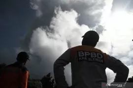
Abdul Muhari, head of the National Disaster Management Authority’s (BNPB) data and information center, said the avalanches flowed in three directions: five times along the Bebeng River, 37 along the Krasak, and 46 along the Sat/Putih.
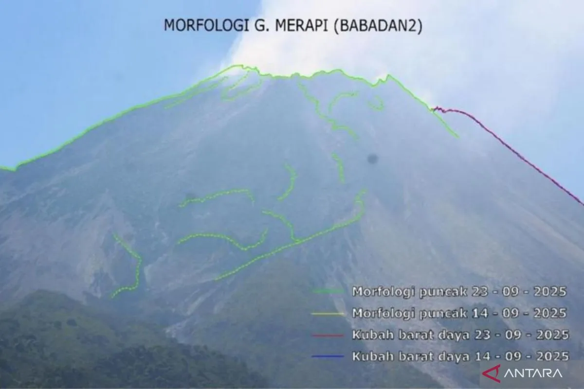
The Geological Disaster Technology Research and Development Center (BPPTKG) reported minor changes on Merapi’s southwest lava dome due to growing volume and avalanche activity, while the central dome showed little change.
Related news: Mt. Merapi spews six hot cloud avalanches on Friday morning
Aerial photos taken on Aug. 25 measured the southwest dome at 4,179,900 cubic meters and the central dome at 2,368,800 cubic meters. “This data strengthens indications that magma supply is still active within Merapi’s structure,” Abdul said.
Current activity remains effusive, with slow lava flows, but hazards include pyroclastic surges and volcanic material ejections within a seven-kilometer radius.
BNPB said Merapi’s alert level remains at Level III (Alert) and urged residents to avoid hazard zones, particularly the southwest sector covering the Boyong, Bedog, Krasak, and Bebeng rivers, and the southeast sector along the Woro and Gendol rivers.
Local authorities in Sleman, Magelang, Boyolali, and Klaten regencies were advised to step up preparedness, strengthen evacuation routes, and ready shelters to protect residents if activity escalates.
Related news: ESDM minister monitors volcanic activities for New Year safety
Translator: Riezko, Azis Kurmala
Editor: Rahmad Nasution
Copyright © ANTARA 2025