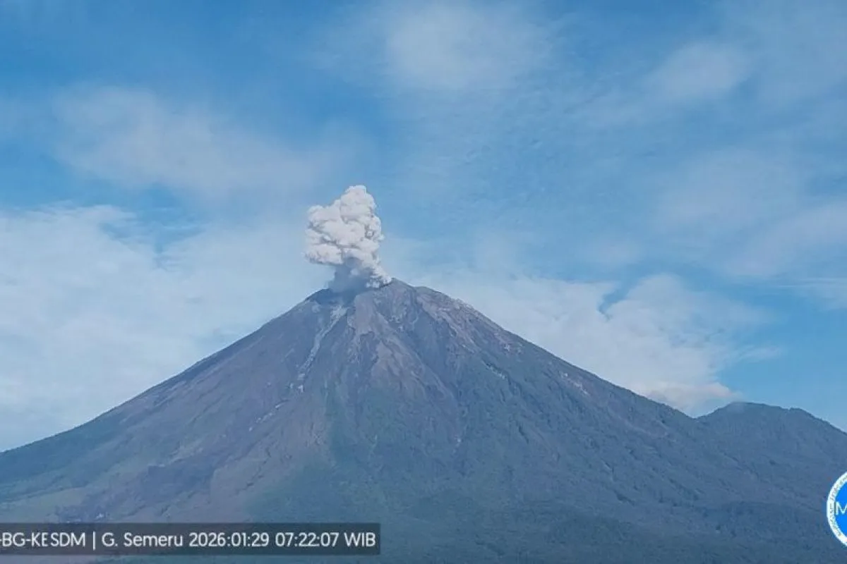
"Mount Semeru erupted on Thursday at 7:20 a.m. The observed eruption column reached approximately 700 meters above the summit, or 4,376 meters above sea level," reported Mukdas Sofian, an officer at the Mount Semeru Observation Post.
He stated that the thick ash column appeared white to gray and was moving southeast. The eruption was recorded on a seismograph with a maximum amplitude of 22 mm and a duration of 115 seconds. This followed an earlier eruption at 4:47 a.m., which produced a 500-meter ash column and lasted 123 seconds with a 20 mm amplitude.
Mount Semeru remains at Alert Level III. Consequently, the Center for Volcanology and Geological Hazard Mitigation (PVMBG) has prohibited all activities in the southeastern sector along Besuk Kobokan, within 13 kilometers of the summit.
Additionally, the public is advised to stay at least 500 meters away from the riverbanks along Besuk Kobokan due to the risk of pyroclastic and lava flows extending up to 17 kilometers from the peak.
"The public is also prohibited from engaging in activities within a 5-kilometer radius of the crater/peak of Mount Semeru due to the risk of ejected rocks," he continued.
Moreover, the public is urged to remain alert to the risks of pyroclastic flows and lava flows along rivers and valleys originating from the summit of Mount Semeru, particularly Besuk Kobokan, Besuk Bang, Besuk Kembar, and Besuk Sat, as well as the possibility of lahars in smaller rivers that feed into Besuk Kobokan.
Related news: Indonesia's Mount Semeru erupts six times, ash plumes reach 1 km
Related news: Mount Semeru erupts sending pyroclastic flow 5 km from peak
Translator: Zumrotun Solichah, Resinta Sulistiyandari
Editor: Arie Novarina
Copyright © ANTARA 2026


