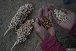
The map serves as a tool to prioritize the aim of easing food vulnerability as a follow up to attain Millennium Development Goals (MDGs),"Jakarta (ANTARA News) - The Indonesian government and the World Food Program (WFP) launched recently a food security and vulnerability map in Indonesia`s 14 food-vulnerable provinces.
Agriculture Minister Suswono officially launched the map which constituted a revision of the 2010 food security map in Gorontalo city, the WFP said in a press statement on Thursday.
"The map serves as a tool to prioritize the aim of easing food vulnerability as a follow up to attain Millennium Development Goals (MDGs)," Suswono said.
The 14 provinces that become the focus of the food security and vulnerability map are East Nusa Tenggara, West Nusa Tenggara, Gorontalo, Central Sulawesi, Southeast Sulawesi, Central Kalimantan, West Kalimantan, South Kalimantan, Lampung, Jambi, Bengkulu, South Sumatra, Maluku, and Nanggroe Aceh Darussalam.
The map provides an analysis and classification of food vulnerability levels by comparing food stocks, households` access to food, and individual use of food.
"The food security and vulnerability map prove to be an important tool to provide statistic data variables to revise geographical target for the government and relevant parties to ensure food security and nutrition for the Indonesian community," WFP executive director for Indonesia Peter Guest said.
The Indonesian government, along with the WFP for the first time introduced a food security map in 2005.
(*)
Editor: Aditia Maruli Radja
Copyright © ANTARA 2011


