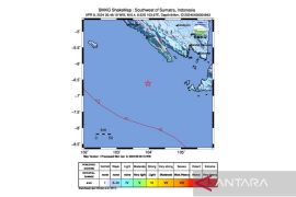
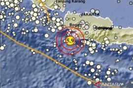
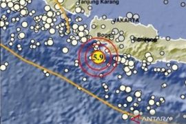
Ambon Meteorology, Climatology and Geophysics Agency (BMKG) spokesman Benny Sipolo said the epicenter of the quake was located 5.63 degrees southern latitude and 133.78 degree eastern longitude at a depth of 10 kms below the sea level, or 101 kms northwest of Dobo, the district capital city.
"We will continue to monitor intensively the affected area to coordinate with the Aru Islands District government to anticipate the possibility of aftershocks," Benny said.
Nus Kesaulya, a Dobo resident, told ANTARA News here by phone that the magnitude of the earthquake was strongly felt by the local people.
"The magnitude of the quake is strong enough so that the people scramble our of their houses in panic for fear of an aftershock," Nus said.
Wednesday`s earthquake in Aru Islands District occurred less than a day after the first one measuring 5.2 on the Richter scale had rocked Southwest Maluku (MBD) and West Southeast Maluku (MTB) districts at 6.26 pm local time on Tuesday.
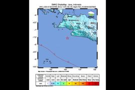
Benny said the epicenter of the quake on Tuesday evening was located 7.28 degrees southern latitude and 125.42 degrees eastern longitude or 123 kms southwest of the MBD district capital Kisar at a depth of 491 kms below the sea surface.
However several Kisar residents said they did not feel the quake and carried out their activities as usual.
"I do not feel the quake apparently because the epicenter of the quake is far from the district capital," Ronny said by phone from Kisar.
Maluku is one of quake-and tsunami-prone areas in Indonesia because it lies at the meeting point of three major tectonic plates. Pacific, Indo-Australia, and Eurasia plates.
Among the quake-prone areas in Maluku are Ambon, Seram and Buru islands.(*)
Editor: Heru Purwanto
Copyright © ANTARA 2012
