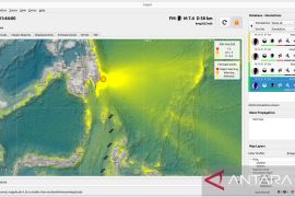
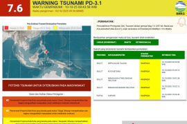
The first quake hit at 0.040 measuring 4.1 on the Richter Scale, followed by a stronger quake at 07.42 local time measuring 5.3 on the Richter scale.
The epicenter of the first quake was in the sea 0.93 south latitude and 136.4 east longitude or 44 kilometers northeast of Biak Numfor at a depth of 12 kilometers.
The second quake was centered in the sea at a depth of 10 kilometers , 1.62 degrees south latitude, and 135.50 degrees east longitude or 81 kilometers southwest of the regency of Biak Numfor.(*)
Editor: Heru Purwanto
Copyright © ANTARA 2015

