Over the last few years, the BMKG has developed a model to forecast the height of waves."Jakarta (ANTARA News) - Indonesian research ship Baruna Jaya I, under a program named "Indonesia Program Initiative on Maritime Observation and Analysis (InaPRIMA)," is surveying the Indian Ocean for a month between April 16 and May 15, 2015.
Acting Secretary of the Coordinating Ministry for Maritime Affairs Asep Djembar here on Thursday stated that marine research is highly related to climate change, and Indonesia is greatly affected by the phenomenon as it is geographically located on the equator.
"The coordinating minister for maritime affairs fully supports the survey as it will provide data to complete the information and knowledge on forecasting extreme climatic conditions," he added.
According to Djembar, Indonesia has several research ships that should be used to acquire more maritime information.
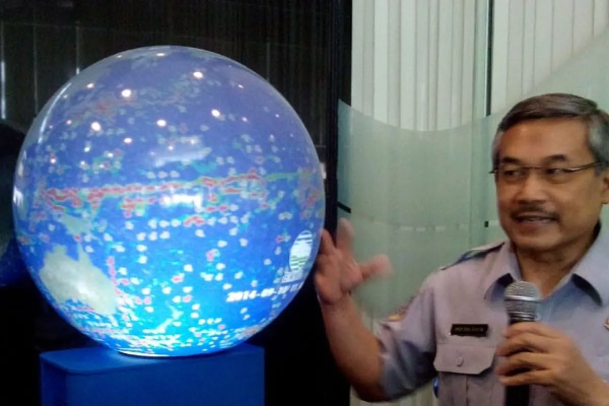
Head of Indonesian Agency for Meteorological, Climatological and Geophysics (BMKG) Eka Sakya noted that maritime information is needed to support other sectors such as tourism, fishery, and sea transportation.
"Over the last few years, the BMKG has developed a model to forecast the height of waves. However, the maritime stations facilities are still minimal. InaPRIMA will help to expand the data and add further information," Eka explained.
The InaPRIMA survey team is the result of collaboration between the BMKG, Agency For The Assessment And Application Of Technology (BPPT), The National Oceanic and Atmospheric Administration (NOAA), and Indonesian Navy Hydro-Oceanography Office.
(Uu.KR-LWA/INE/KR-BSR/R007)
Editor: Priyambodo RH
Copyright © ANTARA 2015


