


Flood inundates 10,000 homes in Bekasi
- 6th February 2013
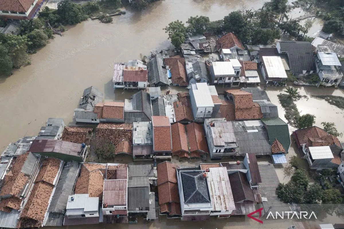
An aerial photo of a flooded residential area in the Kartini area, Mawar Alley, West Bekasi, West Java, on July 8, 2025. According to preliminary data from the Regional Disaster Management Agency (BPBD), East Bekasi and North Bekasi sub-districts were affected by flooding due to the overflowing Bekasi River, with water levels ranging from 30 centimeters to 1.5 meters. ANTARA FOTO/Fakhri Hermansyah/nym/M052
An aerial photo of a flooded residential area in the Kartini area, Mawar Alley, West Bekasi, West Java, on July 8, 2025. According to preliminary data from the Regional Disaster Management Agency (BPBD), East Bekasi and North Bekasi sub-districts were affected by flooding due to the overflowing Bekasi River, with water levels ranging from 30 centimeters to 1.5 meters. ANTARA FOTO/Fakhri Hermansyah/nym/M052


