"The earthquake occurred due to a collision between the Indo-Australian and Eurasian plates," Litman, the head of the Kepahiang meteorology, climatology and geophysics office, stated here on Friday.
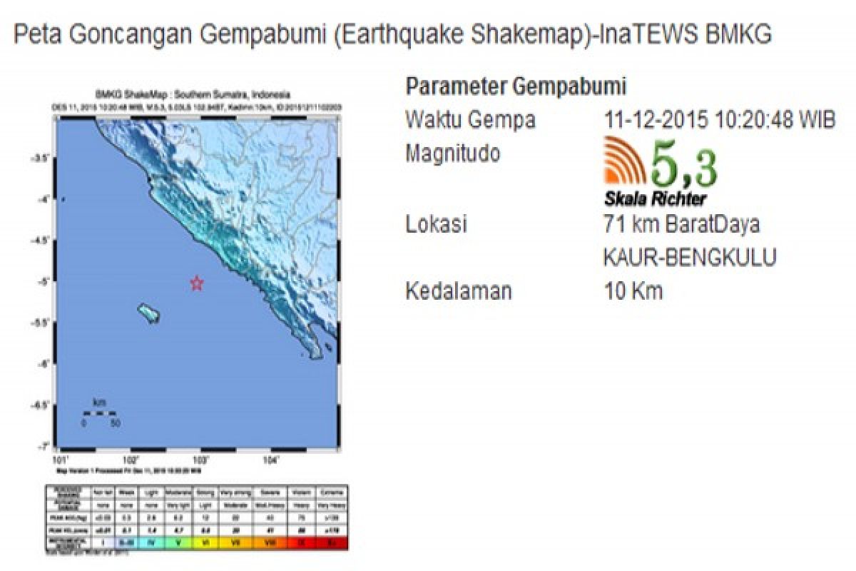
The quakes epicenter was located at 5.03 degrees southern latitude and 102.94 degrees eastern longitude, some 71 kilometers (km) southwest of Kaur District at a depth of around 10 km, he revealed.
The tremors of the earthquake could be felt in six districts and cities in Bengkulu, or up to hundreds of kilometers away from the epicenter.
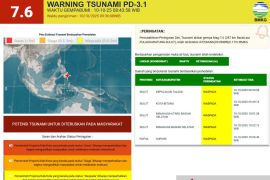
The earthquake did not have the potential to trigger a tsunami.
Earlier, an earthquake measuring 5 on the Richter scale had stuck Central Maluku on Friday at 1:55 a.m. Western Indonesian Standard Time (WIB).
The quakes epicenter was located at 5.45 degrees southern latitude and 129.47 degrees eastern longitude, some 256 km southeast of Central Maluku, the National Meteorological, Climatology and Geophysics Agency (BMKG) revealed on its official website, Friday.
Indonesia is prone to earthquakes and volcanic eruptions as it is located in the Pacific "Ring of Fire," technically called the Circum-Pacific belt.
The Ring of Fire is the worlds largest earthquake belt, according to Live Science, as the fault lines run from Chile to Japan and Southeast Asia.
The Pacific Ring of Fire is home to 453 volcanoes and more than half of the worlds active and dormant volcanoes are found here.
(T.KR-BLW/Uu.F001/INE/KR-BSR)
Editor: Priyambodo RH
Copyright © ANTARA 2015
