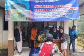
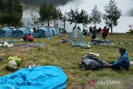
The spokesperson of Section I Kerinci of the Kerinci Seblat National Park Board, Sephadi, said here on Friday that hikers were only being allowed to venture till the shelter II area limits as the volcano remains at level II alert.
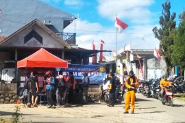
"Officers will be stationed at shelter II to prevent anyone from trespassing," Sephadi made it clear.
A larger number of visitors are expected to come exploring Mount Kerinci in view of the yearend holidays.
The hikers will be advised at the time of registration at the gate to venture only till the border of shelter II.
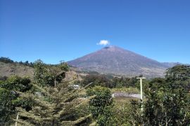
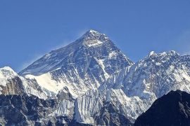
Personnel at the observation post of Kerinci Volcano stated that the volcanos status has been described as being in the zone of highest activity currently among all such volcanoes in Indonesia. At 3,805 masl, it remains at alert level II.
The volcano has been active and a thick plume of smoke was seen at its peak.
Therefore, the Volcanology and Geological Disaster Mitigation Center (PVMBG) has recommended that no human activities be allowed within three kilometer radius from the Mount Kerincis peak.
Mount Kerinci is located along the border of the titular Kerinci District of Jambi province and South Solok Regency of West Sumatra province.
Mount Kerinci is also the highest peak on the island of Sumatra.
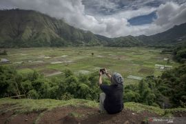
The volcano is surrounded by the Kerinci Seblat National Parks lush forest, which is home to some endangered species such as Sumatran tigers and Sumatran rhinoceroses.
In June 2016, Mount Kerinci spewed thick smoke following a 6.5 magnitude quake in the southwestern coast of Sumatra.
The eruption had resulted in a thin ash rain in the village of Sungai Sikai and the village of Tangkil in the Subdistrict of Gunung Tujuh, Kerinci District, Jambi Province.(*)
Editor: Heru Purwanto
Copyright © ANTARA 2016
