"Based on the record of the monitoring post, the number of tremors has dropped since two days ago," Gede Suantika, head of the PVMBGs Volcanology Mitigation, said here, Monday.
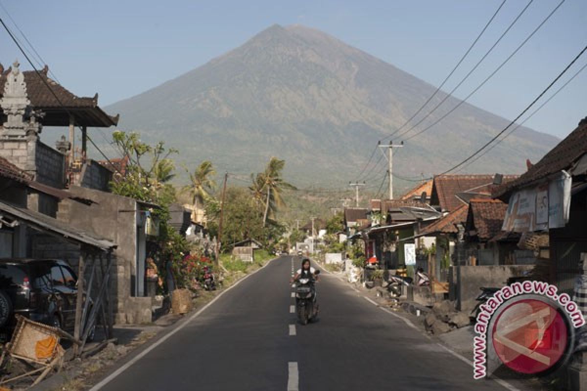
Despite the drop in the number of tremors, the highest volcano on Bali Island remains in the fourth level emergency status because its tremors quality and quantity are still considered high, he said while monitoring the mountain from an observation post located in Rendang Village, Karangasem District, Bali.
"Besides, visually, the condition in its peak has not changed," he noted.
Meanwhile, based on observation on Sept 30, there is a 100 meter-long crack in the surface of Mt Agungs crater.
The PVMBG recorded a total of 143 volcanic tremors and 16 local tectonic tremors on Monday from 6 a.m. to noon local time.
A total of 144,389 people have taken refuge in nine districts and cities in Bali.
The National Disaster Mitigation Agency (BNPB) has installed 54 warning signs at the perimeter of Mount Agung amid fears that the volcano could erupt for the first time in over 50 years.
Head of Data and Information Center of BNPB, Sutopo Purwo Nugroho, stated in a telephonic conversation on Saturday that the signs are installed as notifications for people about their whereabouts with reference to Mount Agungs exclusion zone.
For example, some signs read "you are at nine-kilometer radius from Mount Agungs peak," while some others bear other warning and advice.
BNPB has also stationed six mobile sirens around the mount after the volcanos status increased to alert level IV or Awas.
Despite the active volcano, the Indonesian Government as well as the Bali provincial administration have ensured that Bali is still save for tourists.
Most of Balis main tourist attractions are located quite far from Mt Agung.
reported by IMB Andi Purnomo
f001/o001
Editor: Ida Nurcahyani
Copyright © ANTARA 2017


