During the eruption, a number of tremors also occurred for some 120 seconds, the Volcanology Center noted.
As seen from the Mount Agung Observatory Post, the volcanic ash moved toward the eastern section of the volcano.
In September last year, the Meteorology, Climatology and Geophysics Agency (BMKG) raised the Mount Agung alert status to the highest level (IV), but in October, the authority lowered the status to the second-highest level (III).
In November, BMKG once again raised the volcano`s alert status.
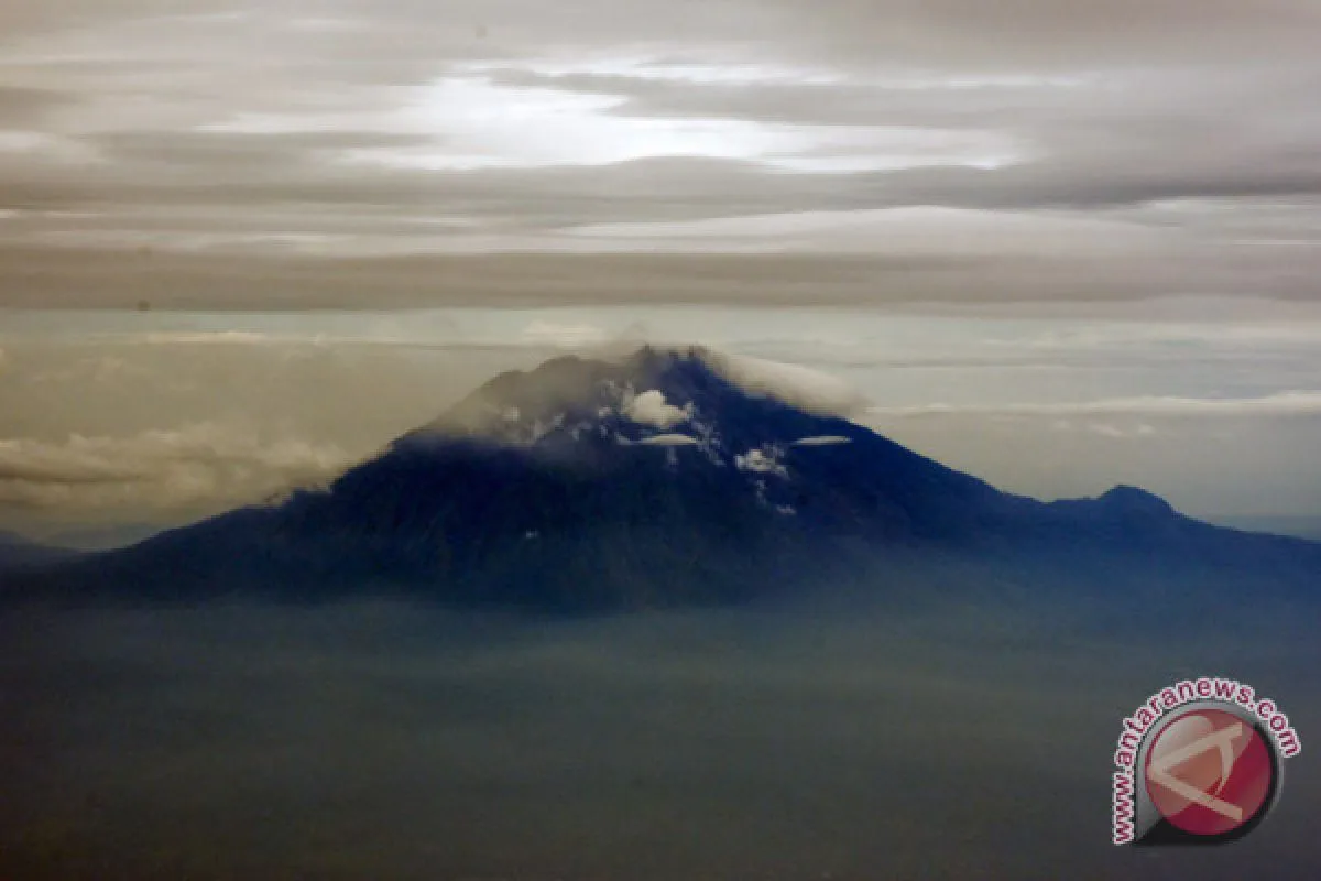
According to the volcanology center, Mount Agung released a few eruptions, spewing columns of ash and smoke. An orange lava-burn was also spotted glowing at the volcano`s crater.
Following the eruption, the Aviation Color Code remains unchanged at the second-highest "orange" status.
The orange status indicates that the volcano may exhibit "heightened unrest with increased likelihood of eruption, or the volcano eruption is underway with no or minor ash emission."
As reported by Anwar Sidiq and Devy Kamil Syahbana, two officers of the PVMBG, the eruption and ash emission may not continue, but the bright glow from the crater can be spotted during eruptions.
"The best estimate of the ash cloud`s top is around 18,054 feet (5,642 meters) above sea level, which may be higher than what can be observed clearly," a report from the PVMBG`s official website stated.
The volcanology center has called on the villagers, as well as tourists and hikers, to avoid any areas within a six-kilometer radius from the crater of Mount Agung.
"However, the dangerous areas may be expanded or changed at any time, depending on the evaluations conducted regularly by the authority," it noted.
Within the six-km radius, some 12 villages have been notified as disaster-prone areas: Nawakerti, Jungutan, Buana Giri, Sebudi, Besakih, Datah, Pempatan, Tulamben, Dukuh, Kubu, Baturinggit, and Ban.
"People from the 12 disaster-prone villages have been evacuated to emergency camps in nearby districts," the authorities revealed.
The PVMBG, on its website, has called on the people to remain alert about the volcanic mud that flows from the rivers on Mount Agung.
"Despite the potential danger, people living outside the disaster-prone villages may go about their business as usual, but they need to stay vigilant and follow the instructions issued by the authority," it stressed.
(T. KR-GNT/INE)
(T.KR-GNT/A/KR-BSR/S012)
Reporter: antara
Editor: Heru Purwanto
Copyright © ANTARA 2018


