The Indonesian Meteorology, Climatology and Geophysics Agency (BMKG) reported on Wednesday that the hotspots were detected in eight provinces, and the highest number was detected in South Sumatra, with 77 hotspots.
Other hotspots were detected in Bangka Belitung (14 hotspots), Bengkulu (10 hotspots), Riau (eight hotspots), West Sumatra (four hotspots), Jambi (three hotspots), and Riau Islands (one hotspot).
In Riau, the eight hotspots were spread in five districts, namely Indragiri Hulu (three hotspots), Rokan Hilir (two hotspots), and one hot spot in Bengkalis, Meranti Islands, and Pelalawan, respectively.
Two hotspots in Indragiri Hulu and Pelalawan have the level of confidence above 70 percent.
BMKG has issued a warning to Riau administration on potential land and forest fires in the province, considering the consecutive no rain days.
"Regions with more than 10 consecutive no rain days are Rantau Kopar subdistrict in Rokan Hilir (13 days) and Ukui subdistrict in Pelalawan (24 days)," an official of BMKG station in Pekanbaru Ardhitama remarked.
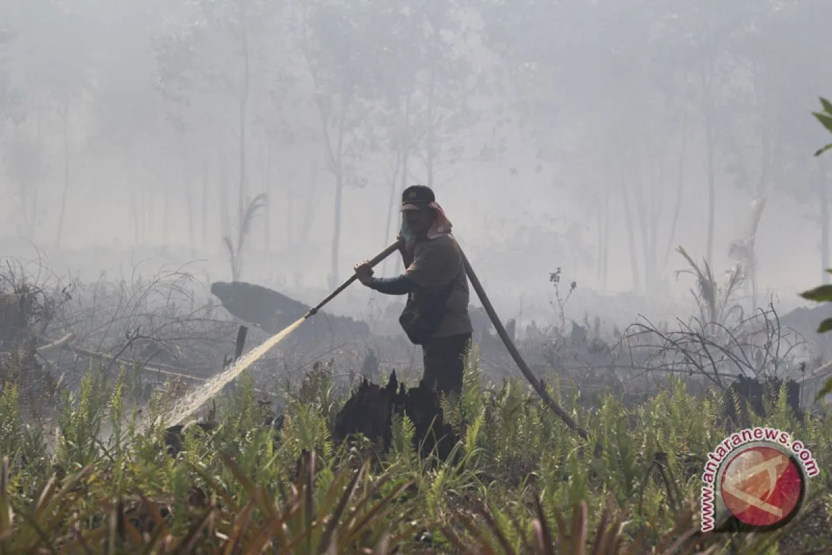
BMKG in Pekanbaru has 150 hotspots in Riau Province to monitor the no rain days, especially in regions prone to land and forest fires.
The monitoring is aimed at providing early information to local government to prevent peat land fires, which would be difficult to contain until the rain comes.
Riau Province, in general, has entered the transition to rainy season from August to October, but the weather condition in each region differs, with the northern and southern parts of the province still experiencing consecutive no rain days.
Reporting by FB Anggoro
Reporter: Antara
Editor: Sri Haryati
Copyright © ANTARA 2018