"With this map, everything will be clear as to where to build irrigation, the dam, and to where the irrigation network would pass," Jokowi said.Jakarta (ANTARA News) - Overlapping land use or even overlapping claim on land ownership is one of the main problems of land in Indonesia.
In order to resolve the problem, the government has launched a One-Map Policy (KSP), which is lauded by many parties as it would help improve investment climate in the country.
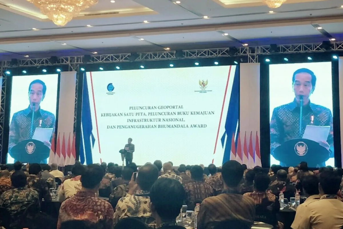
President Joko Widodo (Jokowi) launched a One-Map Policy Geoportal and 2018 National Infrastructure Development Progress Book at Bidakara Hotel in Jakarta on Tuesday.
"With the KSP, the problem of overlapping land use can be solved," Jokowi noted. He remarked that the infrastructure development in various regions made him realize that in Indonesia there were too many cases of overlapping in land use.
According to the president, besides resolving overlapping land use problem, the KSP will also boost investment and improve business climate.
"In future, with the presence of a digital map, there is no need to issue a location permit. The location permit is not needed because everything would become clear," the president remarked when announcing the policy on Tuesday.
So far, licensing procedures have, in fact, complicated the efforts to encourage the development of the business world. "The KSP will have impact on many sectors, and we already have the commitment that this must be carried out," the president added.
Head of Geospatial Information Agency Hasanuddin Zainal Abidin revealed THAT the KSP has made the investment climate work better.
"If the problem is overlapping (land), as previously stated by the president`s president, investors will be more interested in investing. So the investment climate can run well; it is from an economic perspective," Abidin revealed on Tuesday.
He further explained that the presence of digital maps has made the digital economy easier to move now.
"Actually, KSP has a lot of benefits, but, as said by the president, the number of thematic maps must be added. For example, the thematic maps of liquefaction-prone areas that we do not yet have must be added," he noted.
The KSP is one of Nawa Cita`s priorities for Jokowi?s and Vice President Jusuf Kalla?s administration.
The benefits of this policy include supporting "single submission online" for investment convenience and certainty.
The policy also supports agrarian reform policies, social forestry and sustainable use of natural resources, and supports the provision of land for national strategic projects.
In addition, the KSP also improves the quality of spatial plans and resolves land use conflicts.
The central government, through the Chief of Presidential Staff Moeldoko, hopes that KSP can continue to be improved and can become a reference. "Our hope is that the KSP can become a reference," Moeldoko pointed out in Jakarta on Tuesday.
He also hopes that KSP can be improved further for better accuracy.
"This cannot be done only once, because it is related to changing situations and changes in development and use of spatial planning. It must be updated from time to time," Moeldoko revealed.
On the occasion, Moeldoko also appreciated the awareness and enthusiasm of the local governments to compete in preparing data for the One-Map Policy (KSP).
"Colleagues in the region have shared awareness and enthusiasm to be able to adjust towards the One-Map Policy," Moeldoko.
He said that the central government also appreciated the regional governments that are competing to prepare more accurate data using the Regional Budget.
"It is the most important awareness, and so it does not only rely on the (government) center but also on the regions that have been competing to make these mappings," Moeldoko.
According to President Jokowi, who was also the former governor of Jakarta, his visits to various regions to monitor infrastructure development had led him to become aware of the fact that there were many overlapping land use problems in Indonesia.
"The more the visits (I) made, the more I knew of cases that are overlapping everywhere," Jokowi revealed.
The president added that he was happy because one map could currently integrated 83 of 85 thematic maps in Indonesia. "Therefore, I really appreciate it. We have been preparing this for a long time," he explained.
In addition to overcoming overlapping land use, the policy will also make development planning more accurate, because it is not only based on data but also on detailed maps.
"With this map, everything will be clear as to where to build irrigation, the dam, and to where the irrigation network would pass," he noted.
Jokowi stated that work related to the one-map policy had just begun. He asked ministries and state institutions to pay attention to and implement a number of things, namely the first is to immediately add the thematic maps that are needed to clarify the problem of overlapping land use.
The second is to immediately utilize the overlapping indicative map to resolve overlapping land use. The third is to immediately utilize the one-map policy in the spatial-based development planning.
"Fourthly, each ministry and state institution needs to work together and collaborate to resolve the issue of overlapping issues and eliminate sectoral egos," he added.
The president also asked the regional government heads to accelerate the establishment of village and urban village boundaries as there are still many that are not yet finished.
" I also instructed the Geospatial Information Agency to formulate an effective data updating mechanism and prepare a base map on a larger scale," Jokowi pointed out.
Reporter: Andi Abdussalam
Editor: Heru Purwanto
Copyright © ANTARA 2018


