"Certainly, and anytime we have been monitoring the volcano by using Himawari satellite," she said during a press conference on Tuesday evening.
The volcano`s ash spreads in accordance with wind direction, she added.
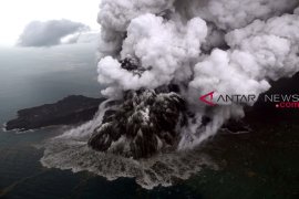
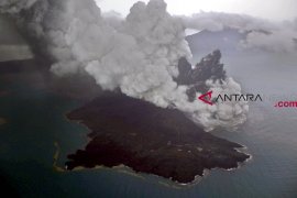
Personnel of BMKG with the cooperation of the Indonesian Defense Forces (TNI) aboard a plane had approached Mount Anak Krakatau twice to get aerial view of the volcano`s crater.
The cloud was quite thick and the airplane`s window was hit by ash particles, so they decided to return because the ash particles could degrade the plane`s engine performance, she added.
The agency forecast moderate until heavy rains in Mount Anak Krakatau surrounding areas.
"During the night until dawn, in general, there is cloud and light rain. The wind direction is from southwest - west and at the maximum speed of up to 20 to 25 km per hour," she said.
Volcanic activity from Mount Anak Krakatau had triggered an underwater landslide that led to an abnormal tidal surge and the resulting tsunami that hit Banten and Lampung Provinces on late Dec 22.
The tsunami affected five districts: Pandeglang and Serang in Banten Province; and South Lampung, Tanggamus, and Pesawaran in Lampung Province.
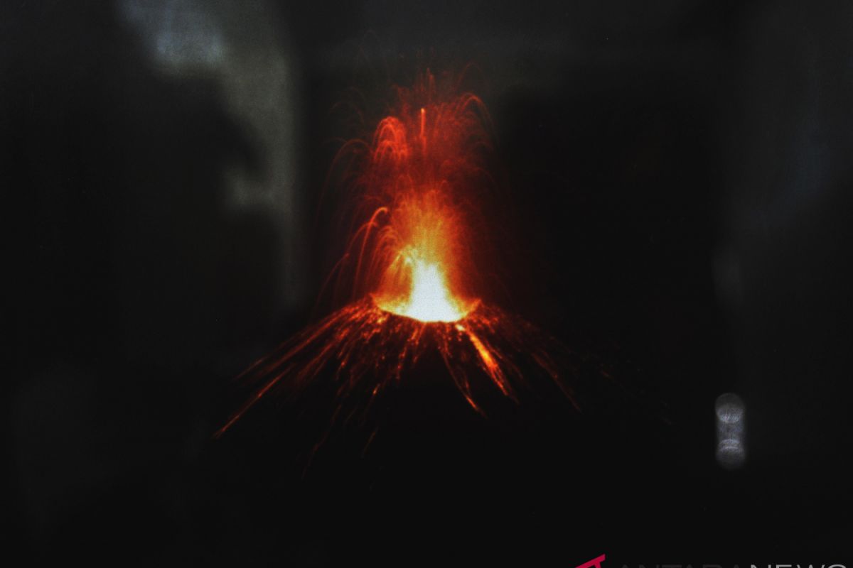
Mount Anak Krakatau, or the child of legendary Mount Krakatoa, has been active for several months, and an alert status has been declared for it.
Meanwhile, the National Disaster Mitigation Agency (BNPB) earlier said that the death toll of the tsunami triggered by Mount Krakatau eruption, reach 492 people.
The natural disaster also injured 1,485 people, rendered 154 others missing, and displaced 16,082 people.
The eruption of Krakatoa, or Krakatau, in August 1883 was one of the most deadly volcanic eruptions of modern history. It is estimated that more than 36,000 people died.
Mount Krakatau is located on an island in the Sunda Strait between Java and Sumatra Islands.
Reporting by Benardy Ferdiansyah, Fardah
Editing by Sri Haryati
Reporter: Antara
Editor: Fardah Assegaf
Copyright © ANTARA 2018
