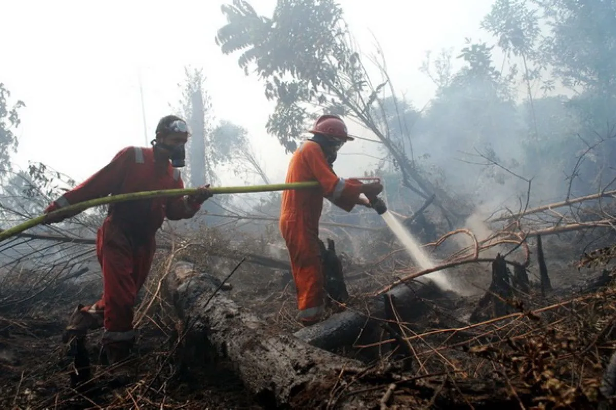
The land and forests are located in Rokan Hilir, Bengkalis, Kampar, Dumai, and Kepulauan Meranti districts and Pekanbaru and Dumai municipalities, Edwar Sanger, acting chief of BPBD Riau, stated here on Thursday, Jan 17.
Rokan Hilir was hit the hardest, with the fires raging 87 hectares of land and forests in the three sub-districts of Tanah Putih, Batu Hampar, and Rimba Melintang.
The fires also affected land and forests in Bengkalis where hotspots were found in the sub-districts of Mandau, Bathin Solapan, and Bantan.
In Kepulauan Meranti, the area of land and forest that caught fire covered two hectares, with a hotspot found in Tenggayun Raya Village, Rangsang Pesisir Sub-district.
The fires also ravaged 5.5 hectares of land in Dumai, 14 hectares in Kampar, and one hectare in Pekanbaru.
Overall, he said, Riau Province, except the central area, eastern coastal area, and part of the western area, is safe from land and forest fires.
"The areas are categorized as being easily prone to catching fires," he added.
Reporting by Anggi Romadhoni
Editing by Suharto
Reporter: Antara
Editor: Azizah Fitriyanti
Copyright © ANTARA 2019


