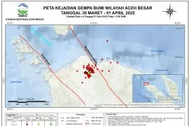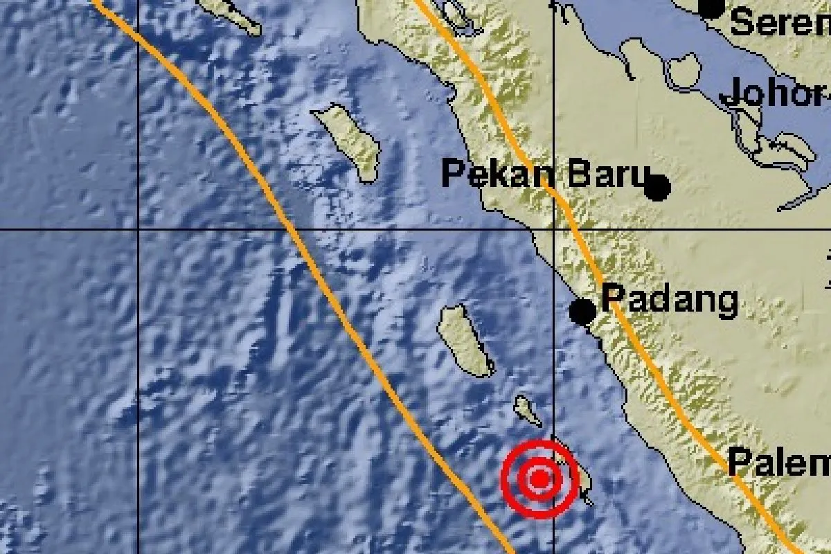
According to the Padang Panjang Meteorology, Climatology, and Geophysics Agency (BMKG), the first earthquake, measuring 5.3 on the Richter scale, was located around 106 kilometers (km) away from southeast of Mentawai, at a depth of 10 km.
In the aftermath of the first quake that jolted the areas of Mentawai Islands District at 4:03 p.m. local time, the second earthquake, measuring 6.0 on the Richter scale, rocked the areas at around 4:27 p.m. local time.
The epicenter of the aftershock was located around 117 km away from Mentawai Islands District, or some 246 km away from southwest of Padang City, at a depth of 17 km, the agency revealed.
The two earthquakes did not potentially trigger a tsunami. Joni, a resident of Surantih Village in Sutera Sub-district, Pesisir Selatan District, said he felt strong tremors.
The earthquakes were also felt by those in Padang, West Sumatra Province`s capital city.
"The tremor is strong enough," stated Andri, a resident of the Lubuk Begalung area of Padang, the city that had been rocked by a deadly earthquake in 2009.
The earthquake that jolted Padang City and several other areas of West Sumatra on September 30, 2009, claimed the lives of 1,117 people and wounded nearly three thousand residents. The catastrophe also damaged more than 260 thousand houses.
Earthquakes regularly rock various parts of Indonesia due to the fact that the country lies on the Circum-Pacific Belt, also known as the Ring of Fire, where several tectonic plates meet and cause frequent volcanic and seismic activities.
Head of the Meteorology, Climatology, and Geophysics Agency (BMKG) Dwikorita Karnawati noted that Indonesia was hit by 11,577 earthquakes, including several of them that caused serious casualties, throughout 2018, with the number increasing significantly as compared to that in 2017.
The BMKG data showed that 11,577 earthquakes, with varying magnitudes and depths, hit during 2018, while just 7,172 earthquakes were recorded in 2017. This indicates that Indonesia bore witness to a significant increase in the number of tectonic earthquakes last year, Karnawati stated.
The agency recorded that the earthquakes, with magnitude of less than five, dominated the occurrences, while those, with magnitudes of over five, were recorded at 297 instances, she remarked.
Reporting by Ikhwan Wahyudi, Rahmad Nasution
Reporter: Antara
Editor: Fardah Assegaf
Copyright © ANTARA 2019