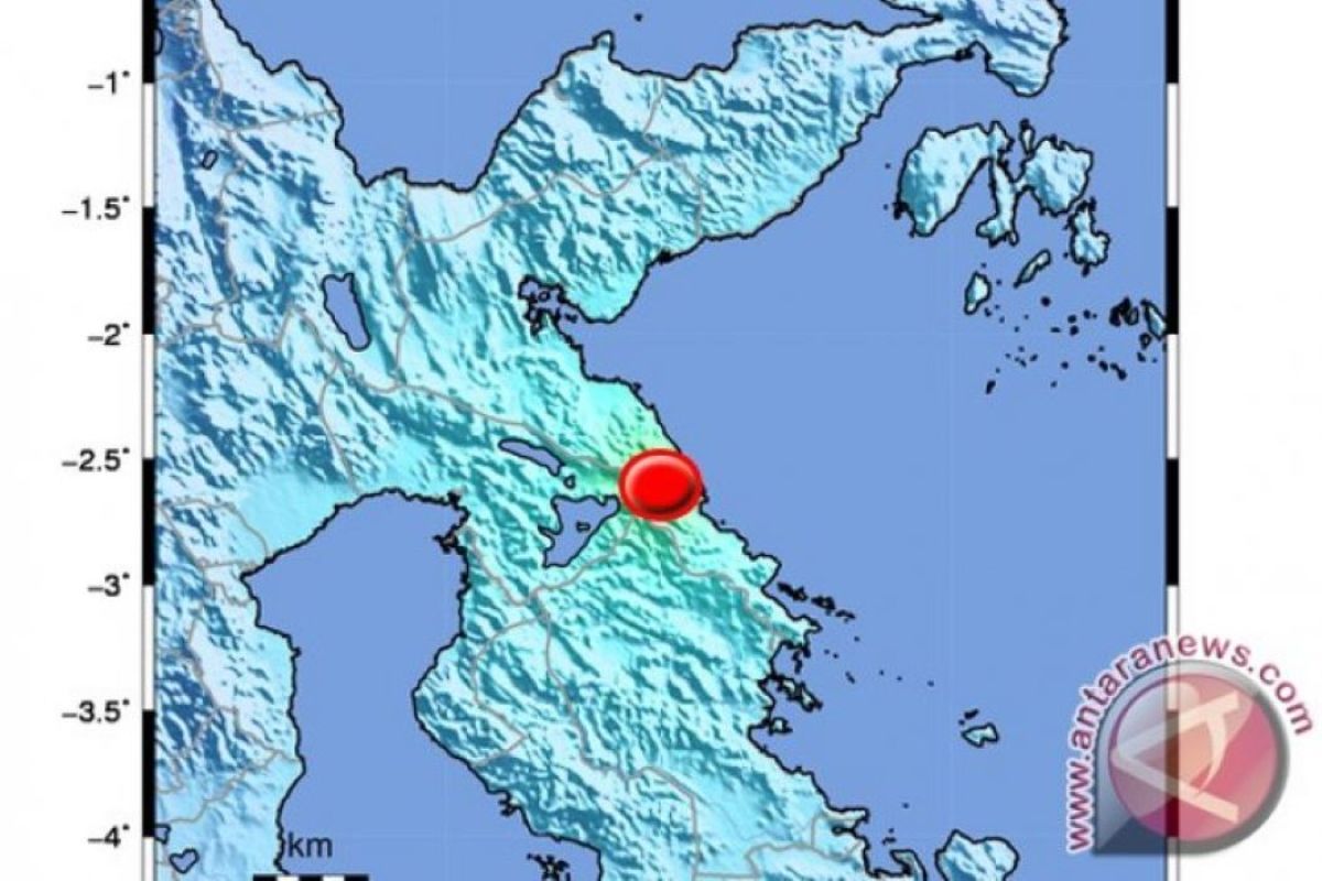
The quake`s epicenter was located at 2.50 degree southern latitude, and 121.43 degree eastern longitude, 30 km northeast of North Luwu, and at a depth of 10 km, according to information of the Meteorology, Climatology, and Geophysics Agency (BMKG), here, Tuesday.
Residents of Sorowako, Nuha, East Luwu, felt the earthquake at III-IV MMI (Modified Mercalli Intensity).
Earlier, a tremor of 4.0 magnitude hit South Manokwari, West Papua Province, on Monday, at 12:21 WIB.
Reporting by Bayu Kuncahyo,fardah
Reporter: Antara
Editor: Fardah Assegaf
Copyright © ANTARA 2019
