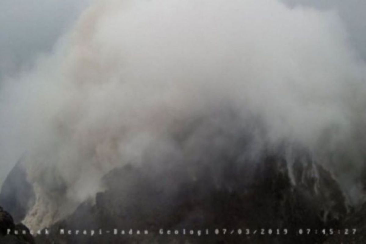
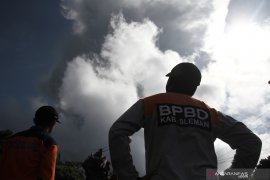
Head of BPPTKG Hanik Humaida said in an official statement that the hot cloud collision occurred at 10:04 WIB with a duration of 150 seconds. "The heat clouds are not visually monitored because of foggy weather," he said.
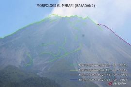
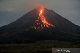
In addition, two lava avalanches were also recorded to come out of Mount Merapi based on the observation period from 00: 00-00: 06 WIB leading to Kali Gendol with a maximum sliding distance of 750 meters.
During the observation period, the most active mountain in Indonesia also experienced 13 earthquake collisions with amplitude 3-42 mm for 10-79 seconds, one low frequency earthquake with 3 mm amplitude for 11 seconds, and one hybrid earthquake with an amplitude of 2 mm and 3.5 seconds duration.
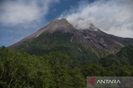
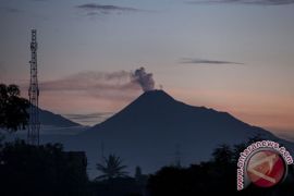
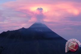
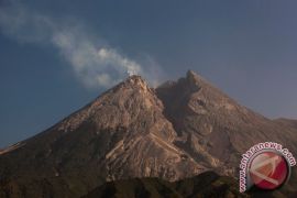
Visual observations showed that the weak pressure crater smoke was observed to be white with a thin, medium, to thick and high intensity 50 meters above the top of the crater.
The wind on the mountain blew weakly to the southeast, south, southwest, and west with temperatures of 17-20.8 degrees Celsius, air humidity 49-85 percent, and air pressure 602-707.7 mmHg.
Until now BPPTKG maintained the status of Mount Merapi at Level II or Alert and for the time being did not recommend climbing activities except for the purposes of investigation and research related to disaster mitigation.
BPPTKG urged residents not to carry out activities within a three kilometer radius from the summit of Mount Merapi.
Regarding the distance of the hot clouds from Merapi, the BPPTKG has urged residents who live in the Kali Gendol channel to increase their awareness.
The community was also asked not to be provoked by issues regarding the eruption of Mount Merapi, whose sources were unclear and still followed the directions of local government officials or asked directly to the Observation Post of Mount Merapi or the BPPTKG office, or through BPPTKG social media.
Translator: Bambang Purwanto
Editor: Fardah Assegaf
Copyright © ANTARA 2019
