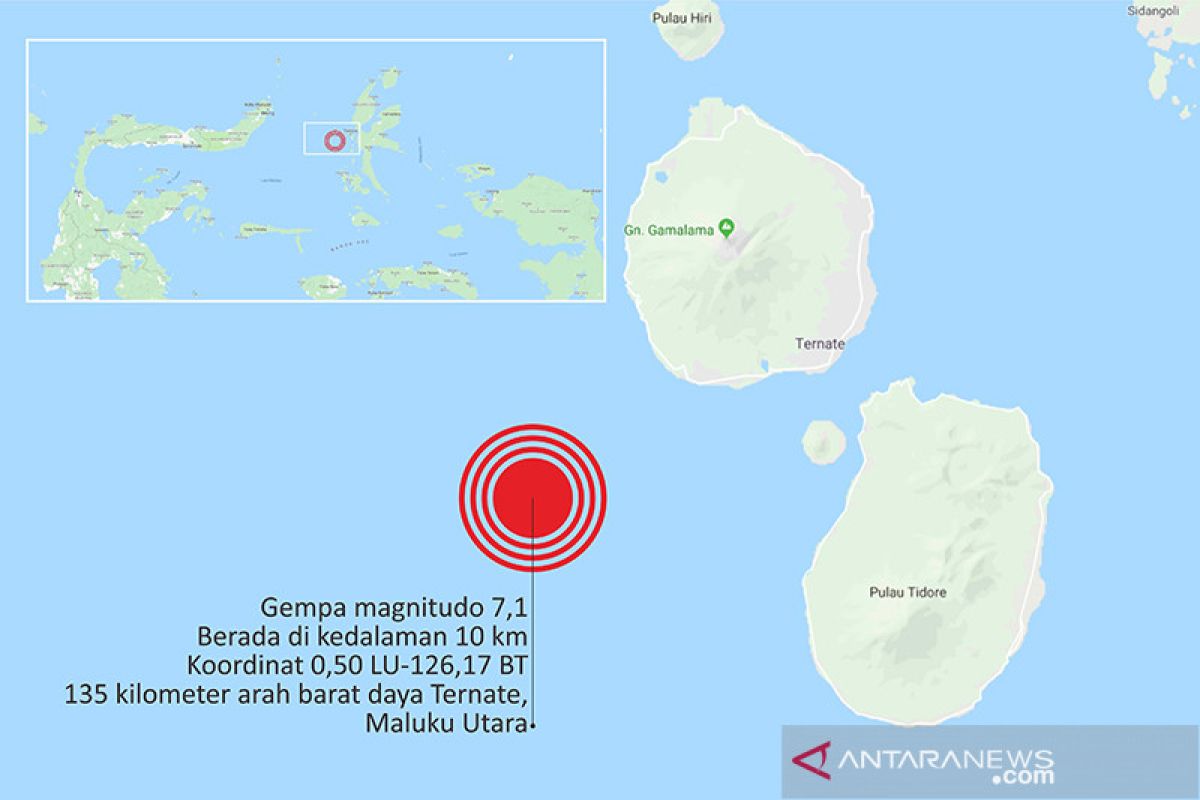
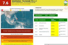
The quake's epicenter was located at 0.59-degree southern latitude and 128.06-degree eastern longitude, some 62 km northeast of Labuha, North Maluku, and at a depth of 10 km below sea level, according to information on the website of the Meteorology, Climatology, and Geophysics Agency (BMKG) on Sunday.
Inhabitants of Labuha coastal area, the capital of South Halmahera District, rushed towards higher grounds when the tremor occurred as they feared a tsunami.
Muslim Pora, a local resident of Labuha, said he felt the earthquake strongly, and his home's windows shuttered.
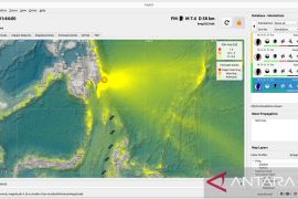
Kustoro, head of the Ternate meteorology, climatology, and geophysics office, said that the earthquake did not have the potential to trigger a consequent tsunami.
The tremor was felt by Labuha's inhabitants at IV-V MMI (modified mercalli intensity). The earthquake was also felt by residents of Ternate, Tidore Islands, Central Halmahera, Ambon in Maluku Province, and even Bitung, North Sulawesi.
Reports of damages and casualties were not immediately available.
Related news: BMKG installs 20 portable seismographs in Sulawesi
Related news: Agency asks regions to prepare weather anomaly plans
Related news: Jokowi converses with students on disaster mitigation education
Translator: Dewanto Samodro, Fardah
Editor: Azizah Fitriyanti
Copyright © ANTARA 2019
