According to its official website, 26 hotspots are identified as low level, 409 of medium level, and 173 of high level.
The hotspots were monitored by all satellites operated and accessed by LAPAN: Aqua, Terra, SNPP, and NOAA 20.
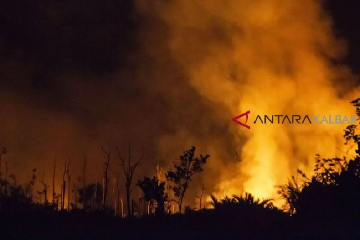
Hotspots are not indicative of the number of land and forest fires, according to the technical information guidance on hotspot prepared by Lapan's Deputy of Remote Sensing.
Related news: Satellites detects 2,070 hotspots across Indonesia during January-July
Hotspot is an area with a higher temperature than its surrounding areas that can be detected by satellite, it stated.
However, several hotspots detected in group are believed to be of land and forest fires in the area.
Hotspot monitoring has become an effective measure to detect land and forest fires in a vast area.
Meanwhile, according to the Environment Affairs and Forestry Ministry forest fire monitoring system Sipongi on August 1-7, the largest number of hotspots were detected in West Kalimantan as monitored by LAPAN's Terra and Aqua satellites.
The number of hotspots in West Kalimantan in the last week had reached 183, a sharp increase than 32 hotspots in the previous week, followed by Riau, with 141 hotspots, last week, as compared to 79 hotspots in the previous week. Related news: Haze-induced respiratory ailments inflict 1,136 Pekanbaru residents
Related news: Tackling forest fires in 5 Indonesian provinces
EDITED BY INE
Translator: Dewanto Samodro, Sri Haryati
Editor: Fardah Assegaf
Copyright © ANTARA 2019


