The hotspots were found in the 12 districts of Kupang, Timor Tengah Selatan (TTS), Timor Tengah Utara (TTU), Belu, Alor, Rote Ndao, Sumba Timur, Sumba Tengah, Ende, Sikka, Lembata, and Flores Timur, Agung Sudiono, head of the El Tari meteorology station, stated here on Thursday.
A total of 45 hotspots were found in Kupang District, with three spreading in Amabi Oefeto; seven in Amabi Oefeto Timur; 13 in Amarasi; three in Amfoang; 16 in Fatuleu; and one each in Nekamese, Tabenu and Takari.
Timor Tengah Selatan (TTS) District was found to have 32 hotspots, while 25 were detected in Timor Tengah Utara, and 11 in Belu.
The districts of Flores Timur, Lembata, Ende, Sikka, Rote Ndao, and Sumba Tengah had few hotspots.
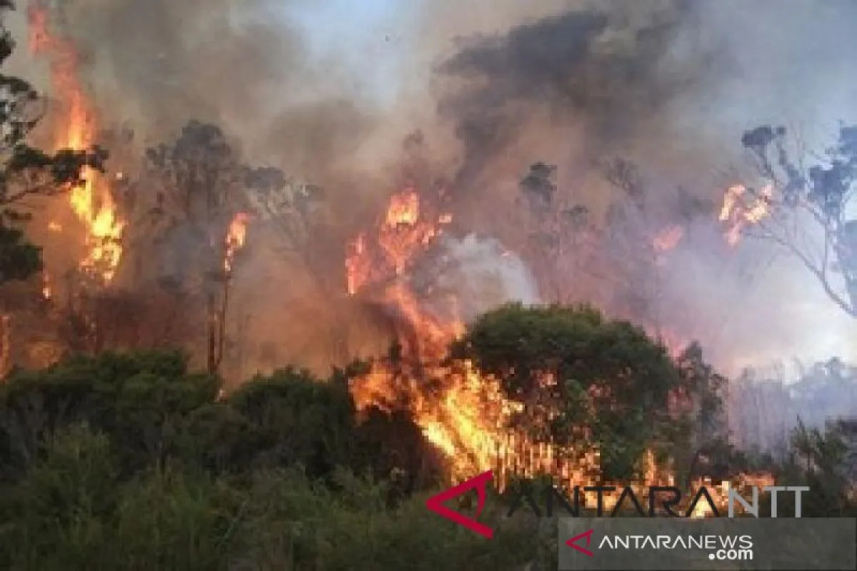
The wildfires were reportedly triggered by the slash and burn farming method and land clearance for plantation.
Indonesia is currently transitioning from an extreme dry to rainy season.
Most of the country's regions continue to be hit by prolonged drought that has triggered wildfires and a water crisis, while rainfall was received in few regions, including Aceh Province, North Sumatra, and West Java.
During the January-August 2019 period, a total of 328,722 hectares of forest and peatland areas were razed by fires across Indonesia.
On Java Islands, forest areas on several mountains were gutted by wildfires. Mount Argopuro, Mount Arjuno, Mount Welirang, Mount Sumbing, Mount Semeru, Mount Cikuray, Mount Masigit, Mount Putri, Mount Guntur, Mount Karacak, Mount Haruman, and Mount Nangkaruka were the mountains affected by wildfires.
Related news: At least 2,510 hotspots observed in ASEAN on Sept 4-7
Related news: Satellites detect 1,211 fire hotspots throughout Sumatra
EDITED BY INE
Translator: Bernadus Tokan, Fardah
Editor: Suharto
Copyright © ANTARA 2019


