"Based on data as of Saturday (June 6) at 11:39 a.m. local time, the earthquake damaged 312 homes, including 264 homes that incurred slight damage, 34 experiencing moderate damage, and 14 suffering severe damage," Jati noted in a statement here on Sunday.
The earthquake hit the six sub-districts of South Morotai, East Morotai, North Morotai, Morotai Jaya, West South Morotai, and Rau Island.
Morotai Jaya, North Morotai, and South Morotai bore the maximum brunt of the natural disaster.
"A total of 143 households have been affected. The earthquake also caused damage to 12 public facility buildings," he revealed.
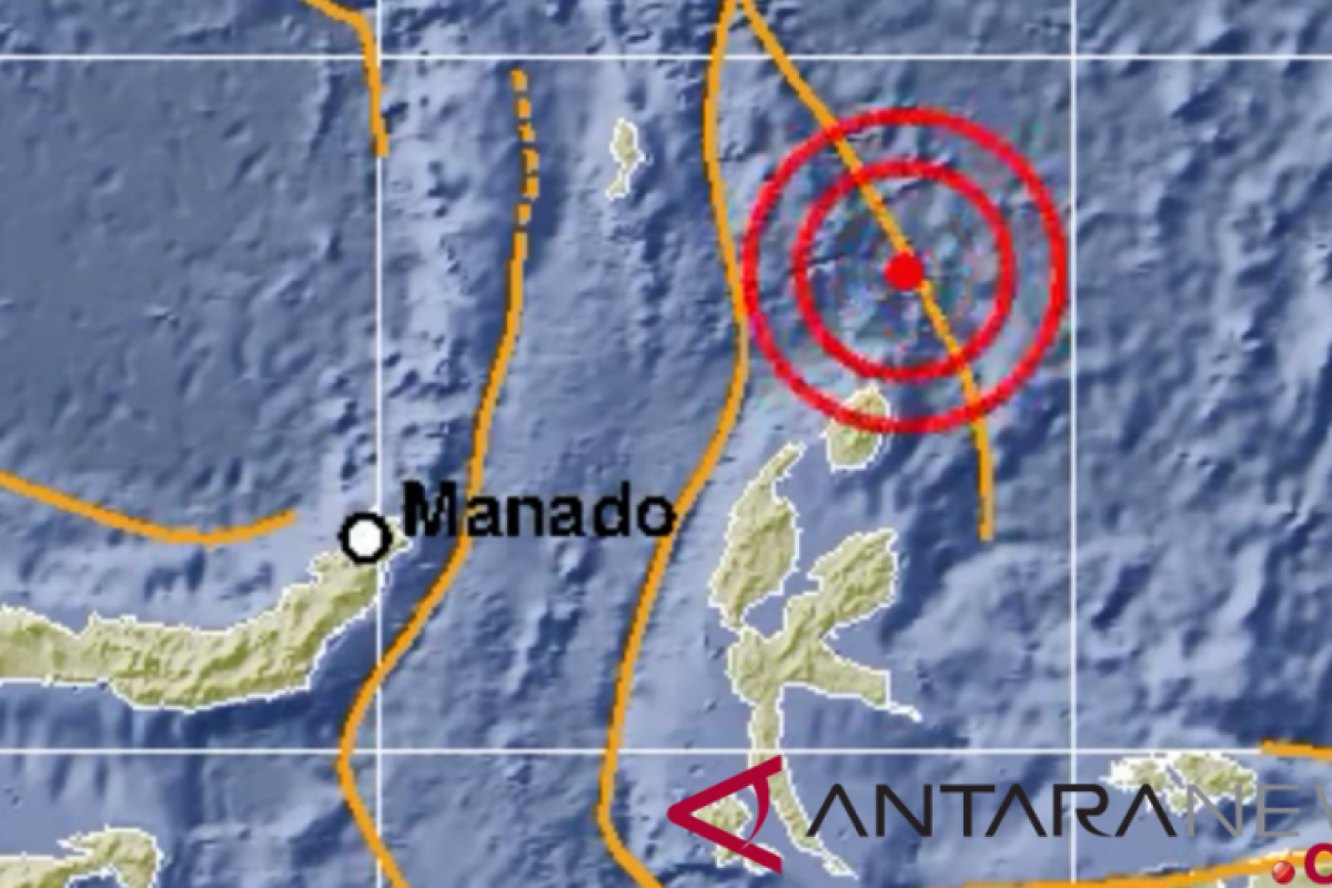
The earthquake, measuring 6.8 on the Richter Scale, rattled North Maluku on Thursday (June 4) at 15:49 Western Indonesian Standard Time (WIB).
The quake's epicenter was located at 2.93 degrees northern latitude and 128.19 degrees eastern longitude, or 99 kilometers north of Daruba, Morotai Island, and at a depth of 111 kilometers.
The earthquake was felt in Morotai at Modified Mercalli Intensity (MMI) IV, resulting in panic-stricken locals fleeing their homes.
The residents of Manado, Bitung, Minahasa, Bolmong, Ternate, Sitaro, Tahuna, Tobelo, Sofifi, and Talaud felt the tremor at II-III MMI. Related news: Aceh struck by 4.8-magnitude earthquake, damage reported in Sabang
Related news: Earthquake of magnitude 5.0 recorded in Maluku waters
Translator: Dewanto S, Fardah
Editor: Rahmad Nasution
Copyright © ANTARA 2020
